Roads & Highways
Transportation organisations need cost-effective tools to manage assets, human resources and office and field operations. Use GIS to plan, monitor and manage infrastructure more effectively. Determine capacity enhancements, improve operations and identify the most strategic investments.
SUCCESS STORY
TfL delivers a £4 billion road modernisation plan
An enterprise deployment of Esri’s ArcGIS platform is helping Transport for London to transform the quality of London’s roads for residents, commuters and visitors alike. Using GIS, the organisation’s employees can make better operational and planning decisions, accelerate road improvement schemes and reduce disruption for road users.
Specialised Apps
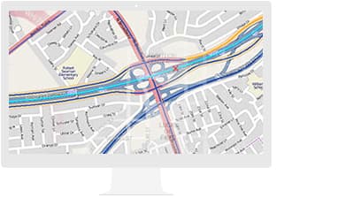
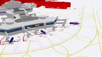
Esri Roads and Highways
Gain a comprehensive view of your roads. This linear referencing system (LRS) solution enables departments of transportation to integrate data from multiple LRS networks.
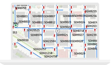
Apps for the Field
Know — in real time — where your assets and crews are. Apps for data collection, report generation and workflow management give you a full view.
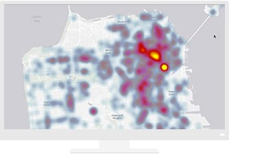
Insights for ArcGIS
Explore and analyse data and support data-driven decisions with powerful spatial analytics.
SUCCESS STORY
Highways England: Saving £13 million while improving car journeys
In less than two months, Highways England developed an Esri ArcGIS web app in-house that gives its 4,700 employees a clear visual picture of all current and planned roadworks. The solution is now creating cost savings and operational efficiency improvements for Highways England, while at the same time improving journeys for road users and providing more transparent information for partners.
Resources
VIDEOS
TfL benefits from Surface Playbook

Highways England - Smart Analytics

Real-time data-driven decision-making - Highways England
GIS for Smart Transportation

Waze Partners with Government to Speed Commutes
Transport Modelling Analyses