Leading the Location Intelligence Revolution
As GPS devices, IoT, sensors, and drones proliferate, the power of Location Intelligence increases exponentially. Using spatial information and analytics, Location Intelligence empowers understanding, insight, decision-making and prediction.
Highways England: Saving £13 million while improving car journeys and operational efficiences
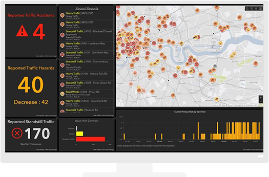
In less than two months, Highways England developed an Esri ArcGIS web app in-house that gives its 4,700 employees a clear visual picture of all current and planned roadworks. The solution is now creating cost savings and operational efficiency improvements for Highways England, while at the same time improving journeys for road users and providing more transparent information for partners.
Support data-driven decisions
GIS brings efficiencies and better information to bear across your organisation. From planning to delivery, operations and maintenance, bring the power of location intelligence to your organisation. Use ArcGIS software to organise your information for better decisions and customer satisfaction.
Build a system of record
Organise and integrate information from across your organisation to better support your organisation objectives.
Empower your stakeholders
Give each department the tailored information it needs on any device, anytime, anywhere.
Create seamless workflows
Bring spatial intelligence to your enterprise systems. Break down silos and uncover deeper insight.
Take GIS to the field
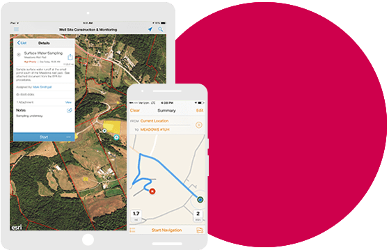
Improve coordination and achieve operational efficiencies in field workforce activities. Reduce or even eliminate your reliance on paper.
Leverage location intelligence
Use the power of GIS for greater insight and operational performance.
Public Transport and Rail
Monitor assets in real time, optimise routing and improve communication.


