Airports & Aviation
Managing an airport has never been more challenging. With ArcGIS software, you can bring together information from across your organisation to streamline operations. Use smart maps and spatial analysis to optimise the management of infrastructure and assets.
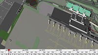
SUCCESS STORY
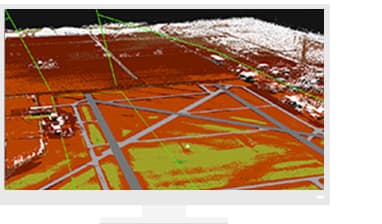
Atlanta soars with real-time and 3D mapping
The busiest airport in the world, Hartsfield-Jackson Atlanta International, uses ArcGIS to support operations, customer service and safety. From runway maintenance to engineering and wayfinding, GIS improves communication and speeds results.
Assets & Infrastructure
From daily inspections to tracking pavement conditions, get the most out of your assets at the lowest cost.
Operations
Find clarity in complex airport operations. Collaborate and make more informed decisions.
Safety and security
Integrate disparate technologies into a single common operational view, giving you real-time security intelligence.
Specialised Apps
ArcGIS Aviation Airports
Meet the industry standard for data quality. ArcGIS Aviation Airports supports compliance by improving operations and automating tasks.
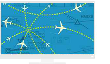
ArcGIS Aviation Charting
Manage aeronautical data and rapidly produce high-quality charts that adhere to industry and organisation-specific requirements.
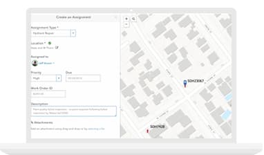
Apps for the Field
Mobile GIS updates your asset database from inspectors' devices in the field.
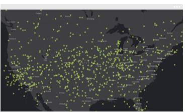
ArcGIS GeoEvent Server
Monitor — and optimise — surface movements in real time.
Resources
VIDEOS
Manchester Airport Group
GIS for Smart Transportation