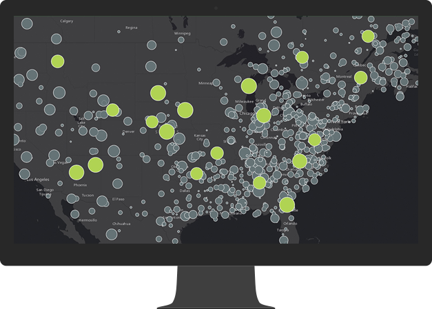
Monitor your land, sea and air assets
Monitor your most valuable assets on a map in real-time for better decision making at any moment. ArcGIS GeoEvent Server can track dynamic assets that are constantly changing location such as vehicles, aircraft and vessels or stationary assets such as weather and environmental monitoring sensors. In addition, it provides real-time situational awareness for coordinated field activities.
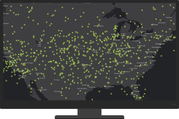
Connect to any data stream
Connect to virtually any type of streaming data feed and transform your GIS applications into frontline decision apps, showing you the latest information as it occurs. GeoEvent Server includes connectors for common data streams including in-vehicle GPS devices as well as social media providers. You can find additional connectors online or use the ArcGIS GeoEvent Server SDK to create custom connectors and processors to extend existing capabilities.
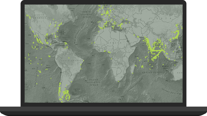
Process and filter real-time data
Detect and focus on the most important events, locations and thresholds for your operations without interruption. GeoEvent Server accommodates multiple streams of data flowing continuously through filters and processing steps that you define. Perform real-time analytics on streams of data to identify patterns of interest important to your organisation.
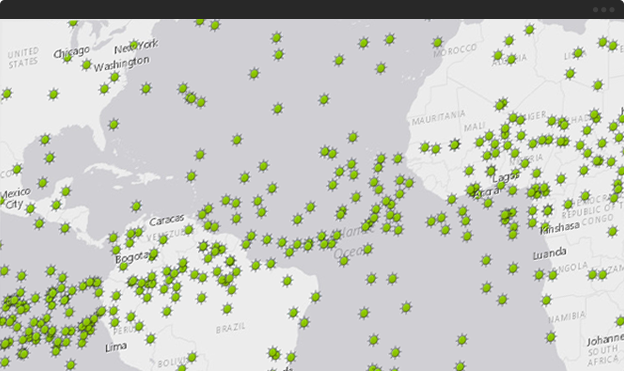
Make better decisions with real-time response
When locations change, patterns of interest are detected or specified criteria are met, automatically and simultaneously send alerts to key personnel, update the map, append the database and interact with other enterprise systems. Alerts can be sent across multiple channels such as e-mails, texts and instant messages to those who need them, wherever they need them.