Ports & Maritime
Port operators and maritime administrators face increased demand for efficient operations. With Esri location-aware solutions, you can improve decision making and management of assets and infrastructure.
SUCCESS STORY
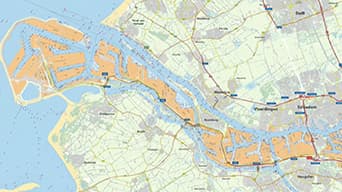
The Port of Rotterdam grows without expanding
At this busy port, a ship sails in every six minutes. Now the port must double throughput without expanding. ArcGIS software supports this massive goal and the mission to be the safest and most responsive, efficient and sustainable port in the world.
Infrastructure and assets
Manage physical assets such as quays and property, and reduce life cycle costs.
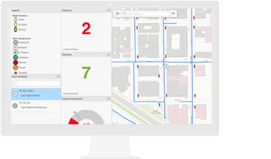
Operations
Find clarity in complex port operations. Collaborate and make more informed decisions.
Safety and security
Gain a port-wide view of events so that you can be prepared to act and react.
Specialised Apps
Apps for the Field
Empower your workers to have instant access to the information they need, wherever they are.
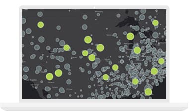
ArcGIS GeoEvent Server
Stream massive amounts of big data into one spatial powerhouse that filters it and alerts you to events you need to know about.
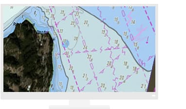
ArcGIS Maritime
Get a comprehensive view of your data with ArcGIS. Visualise real-time port operations with your maritime data.
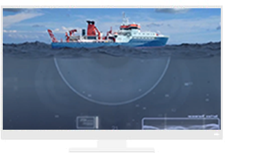
ArcGIS Bathymetry
Get a comprehensive view of your bathymetry data assets. Store data once, reuse it many times.
Resources
VIDEOS

Port of Portland, Oregon, Interview
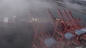
The Port of Rotterdam
Protecting the San Pedro Bay Port Complex

P&O Ferries