Public Transport & Rail
Esri's ArcGIS software lets you understand assets in real time, whether they're moving or stationary. Gain full visibility of your operations to improve service, safety and reliability.
SUCCESS STORY
BART delivers data and maps anywhere, anytime
Leaders at San Francisco's Bay Area Rapid Transit (BART) use GIS to move 450,000 commuters a day safely and efficiently. Real-time data available on any device saves time and money across the organisation.
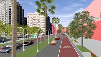
Planning
Bring all your information together to design optimal routes and improve performance.
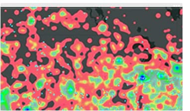
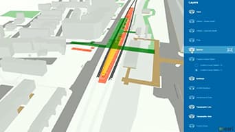
Infrastructure/asset management
Understand the condition of your assets and increase asset performance.
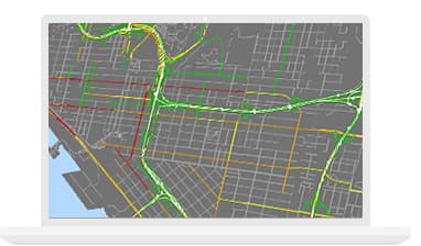
Operations and performance
Integrate real-time information to see the full picture of your operations.
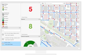
Safety and security
Use a real-time common operational view to protect people and assets.
Specialised Apps
ArcGIS Network Analyst
Plan routes that maximise the value of your resources and best serve customers.
Apps for the Field
Know — in real time — where your assets and crews are. Apps for data collection, report generation and workflow management give you a full view.
ArcGIS GeoEvent Server
Filter big data feeds from unlimited inputs before pushing meaningful alerts to your mobile device or in-box.
Resources
VIDEOS

Bay Area Rapid Transit (BART)
GIS for Smart Transportation
Big Maps for a Big Project: A Crossrail Story