Skip to Content

Part of the Esri Geospatial Cloud, ArcGIS Insights is analysis software that fuses location analytics with open data science and business intelligence workflows. Answer questions you didn’t know to ask, analyse data completely and unlock new insights. Empower analyst of all skill levels, across departments, to directly connect data, perform advanced analytics and take results into 3rd party systems.

Powerful analysis made simple


Explore data and perform advanced analytics such as spatial, statistical, predictive and link analysis within an intuitive experience that works the way you do. Revolutionise decision-making with analysis that visually informs the organisation of new, previously unexplored insights gained from the perspective of “where”.

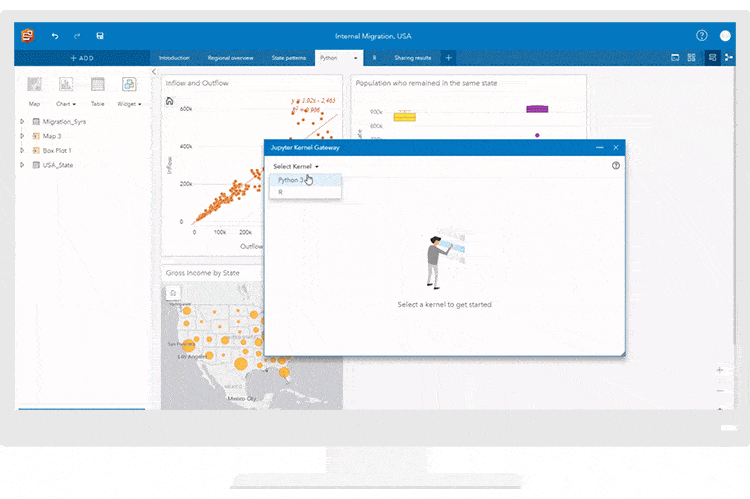
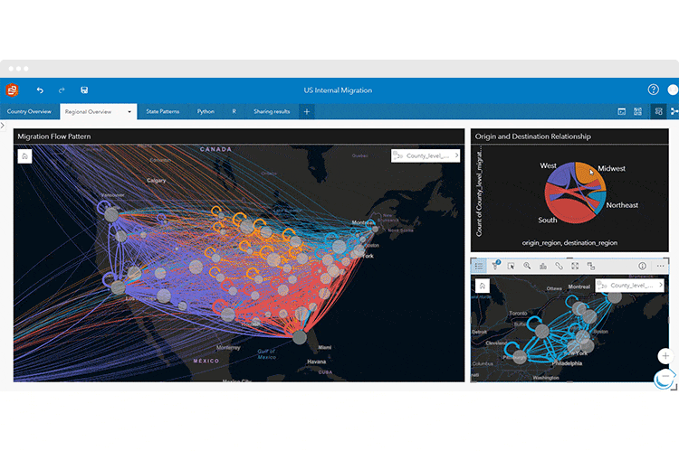
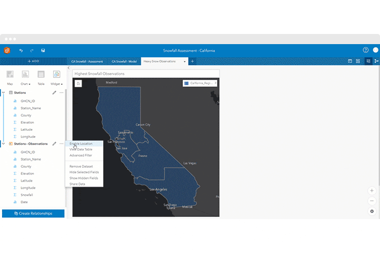
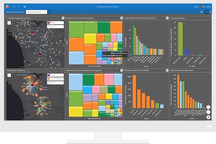
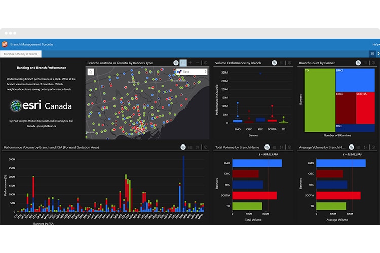
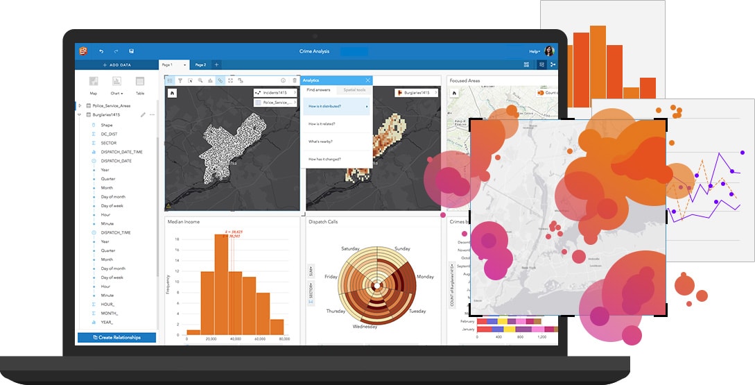
Integrate spatial and business data

Are you using multiple tools to accomplish one thing? Benefit from intuitive, visual analysis that brings location and business data together. The best part is you don't need to be an expert in GIS or spatial statistics to solve complex spatial problems.

Ask questions, get answers and keep going

Transform complex datasets into manageable questions. Use exploratory analysis techniques to quickly uncover patterns, trends, correlations and relationships. Use advanced analytics, such as spatial, statistical and link analyses, to further analyse data.

Do more with location and do it with ease

Map any value with projection and location accuracy—addresses, coordinates, lines or boundaries. Work with an unlimited number of map layers at once. Perform advanced spatial analysis techniques, such as spatial aggregation, find nearest and drive times, in three clicks or less.

Close gaps with location-ready data

Ground your data to the real-world, enrich it with variables such as demographics, psychographics and socioeconomic data. Tap into the world's largest collection of ready-to-use geographic content for over 130 countries. Perform analysis that scales from country down to local levels.

Let data tell the story

Transform your analysis into interactive data stories. Create reports that use text, links, images, videos and branding to clearly communicate your results and show how you reached them. Publish reports internally or publicly to keep stakeholders informed, helping you gain support and buy-in.

CASE STUDY

Location analytics supports wildfire relief effort


Direct Relief uses Facebook Disaster Maps to understand large-scale movement during a disaster and efficiently supply resources to health care agencies and first responders.

Get started with ArcGIS Insights


ArcGIS Insights leverages the power of the ArcGIS platform to offer you flexible implementation and deployment options. Select the offering that fits your business needs.

SaaS deployment
Get up and running quickly. Always use the most up-to-date technology anywhere, on any device, anytime.
Explore our SaaS option
On-premises deployment
Make ArcGIS Insights accessible across your organisation, behind your firewall or on infrastructure that you manage.
Explore our on-premises option
Desktop deployment
Complement your SaaS or on-premises deployment with Insights installed natively on your Windows or Mac.
Explore our desktop option

Try ArcGIS Insights

Start your free trial

Already have an ArcGIS Online subscription? Sign up for Insights in the ArcGIS Marketplace