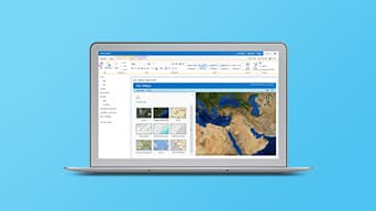
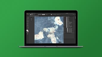
Apps for the Office
Make better decisions with geographic insight
Whether you’re an operations manager who needs to see the location of assets or a market analyst interested in understanding consumer profiles in a targeted region, you can use ArcGIS Apps for the Office to make decisions that save money and time. Visualise your data in a geographic context and gain location-based insights that you would otherwise miss.
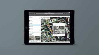
Find the right site for your business
See
Map your target customers, sales territories and potential sites. Combine them with demographic, lifestyle and spending data.
Understand
Assess market feasibility and consumer profile for your potential sites. Gain the business insights you have been missing.
Decide
Find the sites that match your target market criteria and are most likely to be profitable.
Chick-fil-A ensures reliable growth with location-based analysis. [PDF]

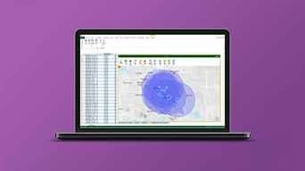
Optimise your asset management
See
Map your assets, network, infrastructure and work orders to learn how they are interconnected. Augment with weather, topography, satellite imagery and field data.
Understand
Know more about asset performance and personnel productivity. For example, identify customers affected by a broken water-line and trace the assigned work order.
Decide
Get a real-time picture of asset performance, maintenance history and inspection plans. Improve resource planning and reduce operating costs for your enterprise asset management.

Review & evaluate planning scenarios
See
Create realistic context and visualise your urban plans, architecture and designs in 3D.
Understand
Understand where a proposed building blocks the view, casts shadows and reflects heat.
Decide
Determine how a building proposal and its alternative scenarios fit into your city’s overall vision.

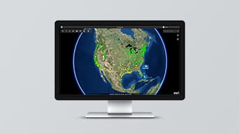
Monitor land use change
See
From understanding forest destruction and habitat loss, to disaster response and environmental impact studies, you get the best visual context from satellite and drone-captured imagery.
Understand
Visually compare your area of interest over time and quantify land use change. Perform analysis to extract more meaning. Use meta data to know more about the imagery.
Decide
Assess the impact of environmental changes and urban growth. Improve forestry management and operations. Know where to send emergency response crews. Manage vegetation encroachment.
“ArcGIS Speeds Imagery Processing for South Carolina Air National Guard in Times of Disaster”


Case Study
Greater London Authority
Meeting the needs of 10.5 million Londoners


Learn more
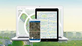
Find the right app


Premium apps
Premium app. Requires an additional purchase.
