ArcGIS Earth
Maps for everyone on Earth
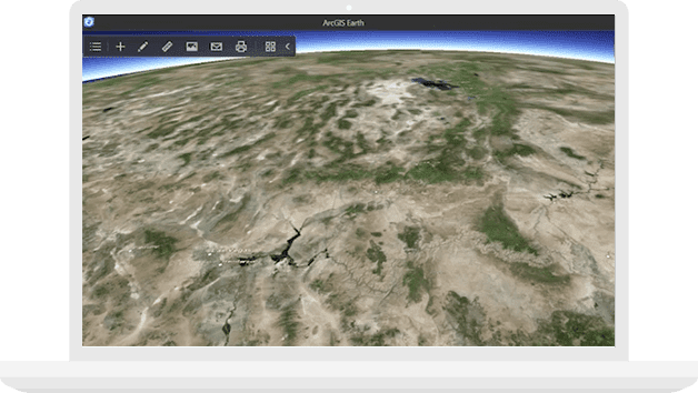
Go around the world
Zoom from the view of the globe to the rooftop of your house. Explore terrains, oceans and mountains anywhere in the world.
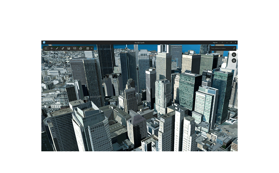
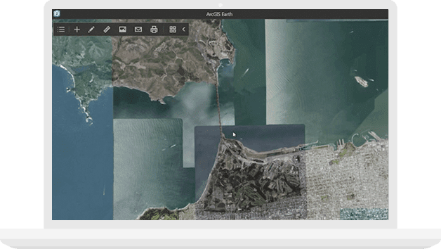
See your data on the globe
Whether it's property sites or planning designs, add the third dimension and see details you might miss in 2D. Instantly open KMLs, shapefiles or web services and view them in 3D.
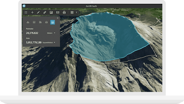
Sketch, measure, analyse
Draw point, line, or polygon placemarks to highlight information. Measure distances and areas in 3D. Add annotations and contextual data to understand the full picture.
Communicate progress
Report project status and present to clients in compelling and interactive 3D. Make it easy for stakeholders to visualise data. Email the view in one-click or save it as an image to share with others.
How switching to ArcGIS Earth helps your organisation

Fits existing workflows

Continue with confidence

Work with a trusted partner
ArcGIS Earth is fully integrated with the ArcGIS platform so you can securely access, share and publish your enterprise maps and data.
More to come
Esri product engineers and developers were busy all year working to deliver ArcGIS Earth to you in time. Now we will focus on adding the features you need and enhancements you'll love.