ArcGIS Maps
for SharePoint
Map and search Microsoft SharePoint content
Turn on the power of maps
Allow SharePoint users across your organisation to use, search, and share data-driven maps and geotagged documents in a familiar SharePoint framework.
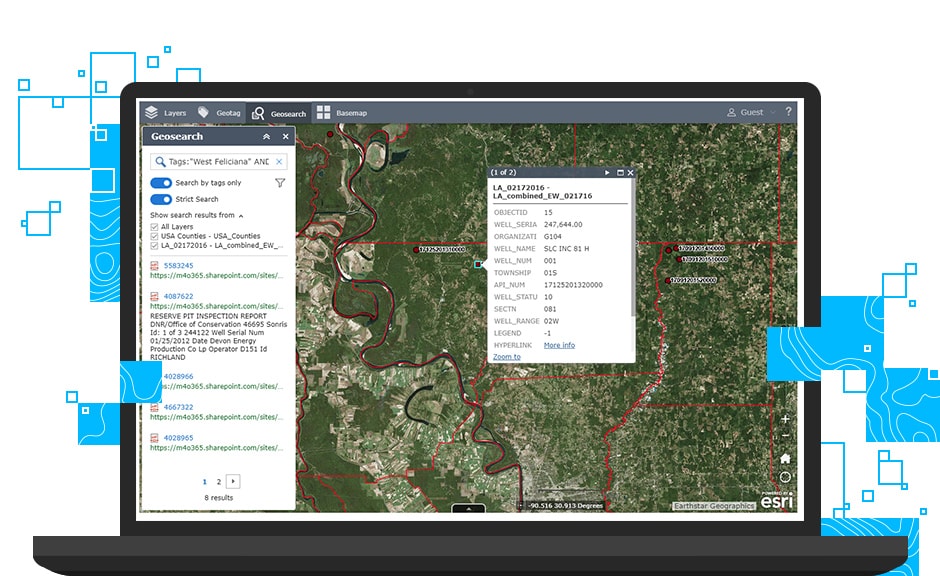
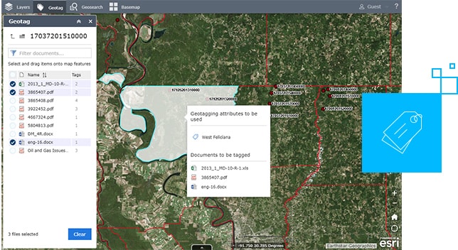
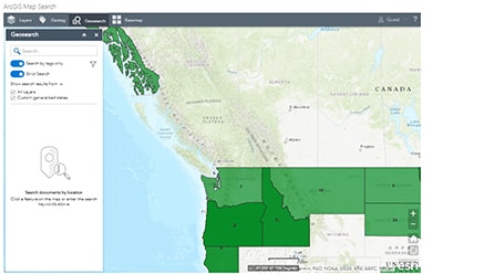
Tag and find documents easily
Help your team find important documents fast. Drag and drop documents on a map to geotag them. When you need that data, click on the map feature to view tagged data.
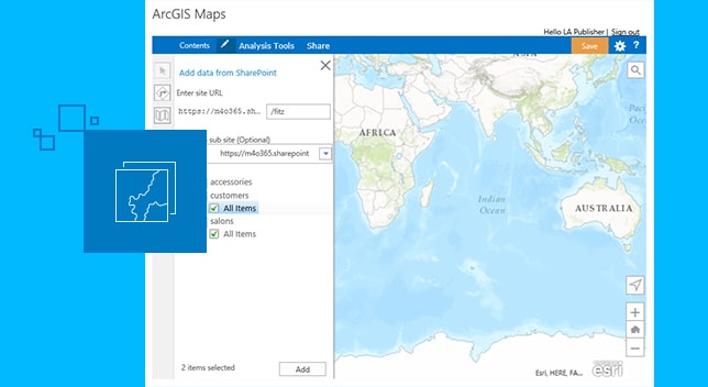
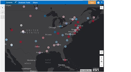
Add maps to your SharePoint pages
Turn your SharePoint lists into maps for clarity. Add Esri’s ready-to-use geographic data to your SharePoint pages for a better perspective of your projects.
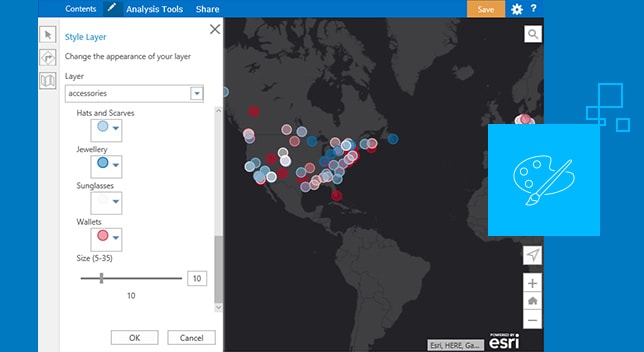
Configure web parts to match your brand
No programming needed to work with ArcGIS Maps for SharePoint components or access site settings. Easily format maps to match company brand and style.
A brand new way to look at SharePoint content
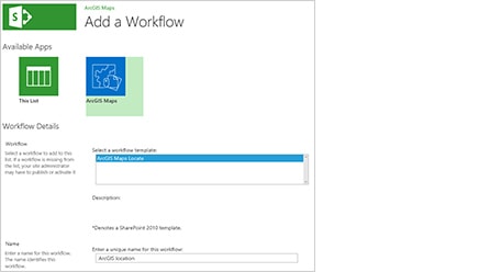
Locate it
Map it
Find documents quickly
Delivering location to Microsoft products
ArcGIS Maps for SharePoint is one of the ways Esri brings quality data and advanced spatial tools to Microsoft products. ArcGIS software helps Microsoft users unlock location intelligence in their business data for a better perspective and decision-making.

ArcGIS Maps for Power BI
ArcGIS Maps for Power BI provides maps and demographic data inside Microsoft Power BI. Access data to make maps that help you see patterns and trends.
See ArcGIS Maps for Power BI
ArcGIS Maps for Office
ArcGIS Maps for Office gives you the power to ask location-related questions of your data in Microsoft Excel and share your results in PowerPoint.
See ArcGIS Maps for Office