ArcGIS Maps for Office
Interactive maps in your spreadsheets and presentations
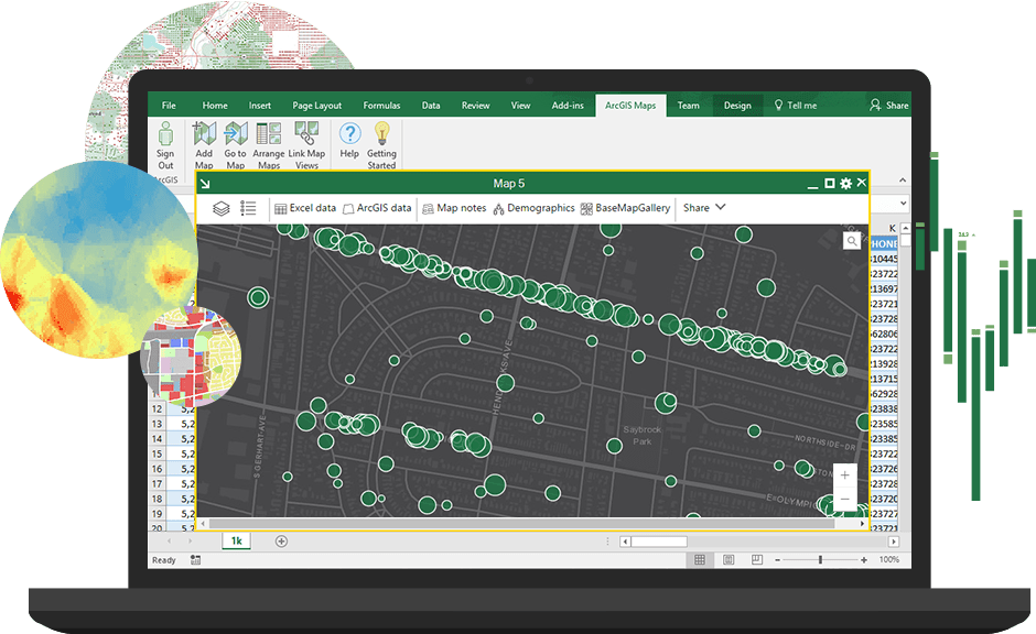
Add location intelligence
Maximise your information
Map your data to extract maximum value by asking a whole new set of location-related questions. Gain new perspectives you've been missing.
Work with trusted, verified data
Augment your Excel spreadsheet data by mapping it along with layers of trusted, verified, global data on demographics, lifestyle and geography.
Sync and share your work
Give your team instant access to updated, reliable information. When you sync your maps to ArcGIS, you share your work securely and widely with whomever you choose.
Tell more effective stories
Impress your audience when you tell your story with map-based presentations in PowerPoint. Show key locations or use the map to answer questions.
How it works
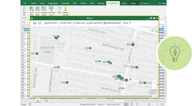
Start with your data
Choose a map style
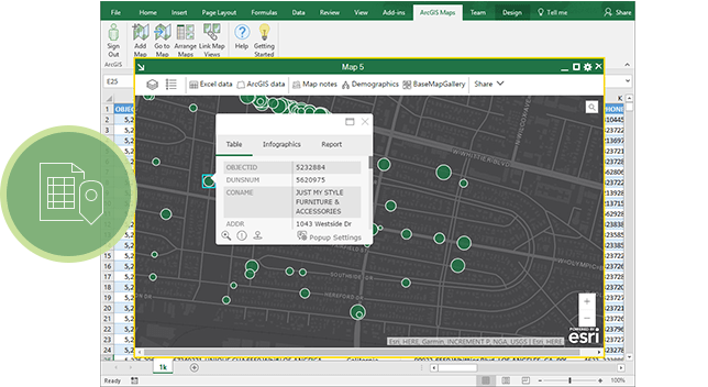
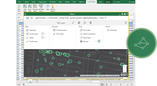
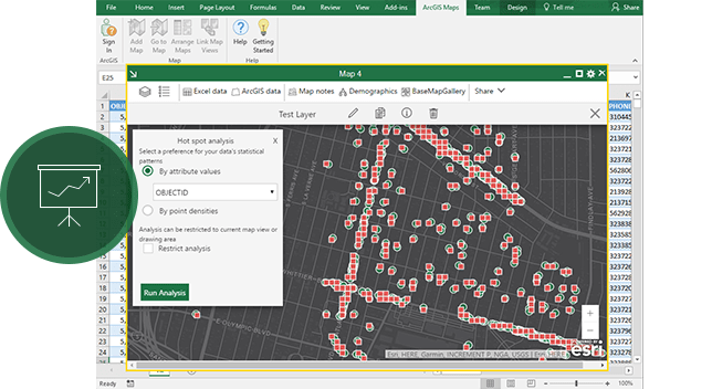
See patterns, gain understanding
Tell your story
Delivering location to Microsoft products
ArcGIS software helps Microsoft users unlock location intelligence in their business data.

ArcGIS Maps for Power BI
ArcGIS Maps for Power BI provides maps and demographic data inside Microsoft Power BI. Access data to make maps that help you see patterns and trends.
See ArcGIS Maps for Power BI
ArcGIS Maps for SharePoint
ArcGIS Maps for SharePoint gives you a new way to map and search SharePoint content. Visualise, organise and interact with SharePoint data via maps for better insights.
See ArcGIS Maps for SharePoint