Forestry
Maximise the value of timber assets, reduce costs and improve forest management with solutions for data collection, map analytics and remote sensing. With ArcGIS software, empower decision-makers, fieldworkers and consultants to strengthen timber investment and natural resource management.
SUCCESS STORY
Managing the business of forestry with Geographic Information Systems
The implementation of Esri’s ArcGIS platform has enabled The Forestry Commission to make cost savings in excess of £1 million a year from more efficient map production. Use of this enterprise-wide GIS also enables managers to make better informed decisions and publish visitor information for the general public more easily.
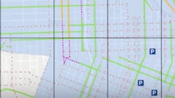
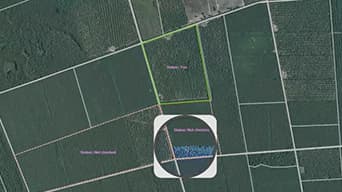
Collect field data
Give fieldworkers powerful mobile GIS applications for accurate data capture.
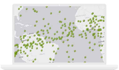
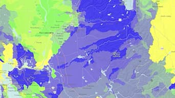
Analyse inventory
Empower natural resource managers to make better and more informed decisions.
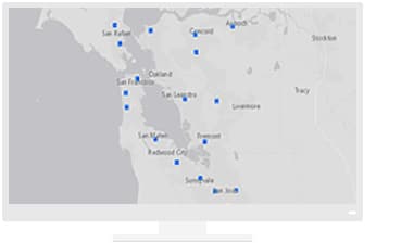
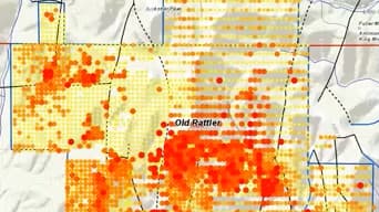
Monitor operations
Visualise forest operations with dashboards that integrate maps and streaming data feeds.
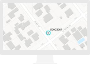
Access data from any location
Deliver actionable information to decision-makers anywhere, anytime, online or offline.
Specialised Apps
Apps for the Field
Improve operational efficiencies in field workforce activities.
ArcGIS GeoEvent Server
Use real-time mapping and spatial analysis to provide situational awareness for dynamically changing assets.
Insights for ArcGIS
Access a web-based, data analytics workbench where you can explore spatial and nonspatial data.
Resources
Videos
ArcGIS Pro: Symbolise wildfires space-time patterns
Web GIS platform for forestry
Putting imagery services to work in forestry

Communicating ore effectively with Esri Story Maps
Esri Webinar: Enhance operational efficiencies in Forestry