Agriculture
Integrate high-resolution imagery, field observations and real-time data feeds to understand how to make the most of your limited resources. Esri technology allows you to collect, maintain and analyse all your agriculture field data in one centralised system.
SUCCESS STORY
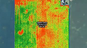
Conveying scientific evidence from drones to decision makers
The agri-food research company Fera Science has developed a GIS-based web app to share high resolution imagery from an Unmanned Aerial System with a range of government and commercial clients. The solution gives decision makers a deeper understanding of complex environmental and agricultural challenges, so they can plan more effectively to protect our natural resources and food security.
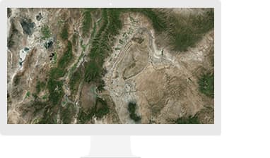
Precision agriculture
Monitor the health of individual crops in your field and adapt to differences in soil types, sunlight and slope.
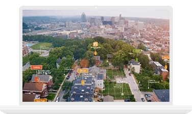
Field operations
Optimise your operations and logistics to cut costs while tracking and managing your farm assets.
Risk & sustainability
Protect your crops by analysing and predicting threats before they can occur.
Specialised Apps
Living Atlas of the World
Ready-to-use maps give more context to exploration and production workflows.
Apps for the Field
Improve operational efficiencies in field workforce activities.
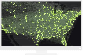
ArcGIS GeoAnalytics Server
Answer difficult questions - the kind that involve large volumes of data - in minutes or hours instead of days or weeks.
Resources
VIDEOS
Precision Agriculture with GIS imagery
Beck's Hybrids