Renewables
To produce cleaner and smarter energy, we look to renewable natural resources. Relationships between these resources and the energy they can produce are inherently geographic. Use spatial analysis to improve energy production, transmission, and delivery and change the way we view natural resources.
SUCCESS STORY
Using GIS to make renewable energy viable
The Renewable Energy Atlas of Vermont encourages people to get involved in localizing energy production. This interactive website lets users identify, visualize, and analyze data about existing and promising renewable energy opportunities for any town or county in Vermont.
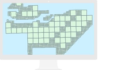
Acquire and manage
Use ArcGIS software to efficiently and effectively collect and store the vast data your project requires.
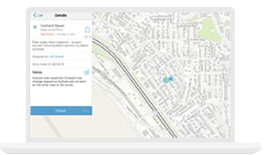
Analyze and assess
Accurately determine the best placement of resources after considering all constraints and restrictions.
Share and collaborate
Enable everyone in your organization to access data and perform analysis to streamline workflows.
Monitor and reduce risk
Get a complete picture of your operations to anticipate what is coming and adjust accordingly.
Specialized Apps and Data
Living Atlas of the World
Ready-to-use maps give more context to survey and operational workflows.
Apps for the Field
Improve operational efficiencies in field workforce activities.
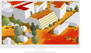
Calculate Solar Radiation
Visualize solar radiation on the ground, as well as on the roofs of buildings, in 3D.
Resources
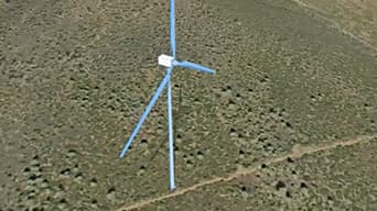
Wind farm site layout design