Share
Share interactive maps privately with your groups or publicly with everyone

Choose who sees your maps
Decide who can view the maps you create. Publicly share maps that drive awareness and action. Keep confidential maps private. You determine who sees your maps using the share settings in ArcGIS Online. Share maps with:
- Just you—keep your maps private
- Your groups—share maps with a specific group of users in ArcGIS Online
- Your team—share maps with everyone in your ArcGIS Online organisation
- The world—allow anyone, anywhere to see your maps
Integrate maps into your digital presence
Interactive maps are communications tools. They tell stories, share insights, and move people to ask questions. You can share your maps through a variety of channels, including embedding them in your website, social media posts, and blog articles.
Popular maps may have thousands of people simultaneously viewing them. Your maps will scale and perform consistently across devices.
Quickly create interactive web apps for a focused, engaging experience
Make it easy for everyone to engage with your maps on any device by sharing them as interactive web apps. ArcGIS Online includes dozens of apps that you can create in just a few clicks. Each app has a focused purpose to help you tell your story and keep viewers engaged.
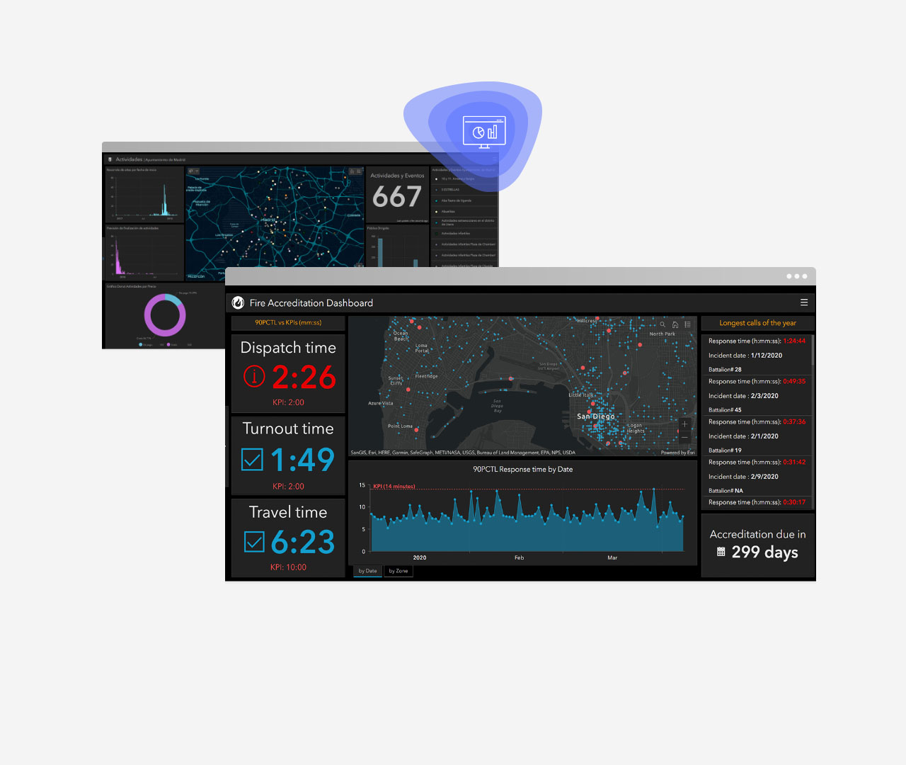
Dashboards
Convey information through interactive data visualisations on a single screen.

Storytelling
Create a captivating narrative with maps, text, photos, and video.
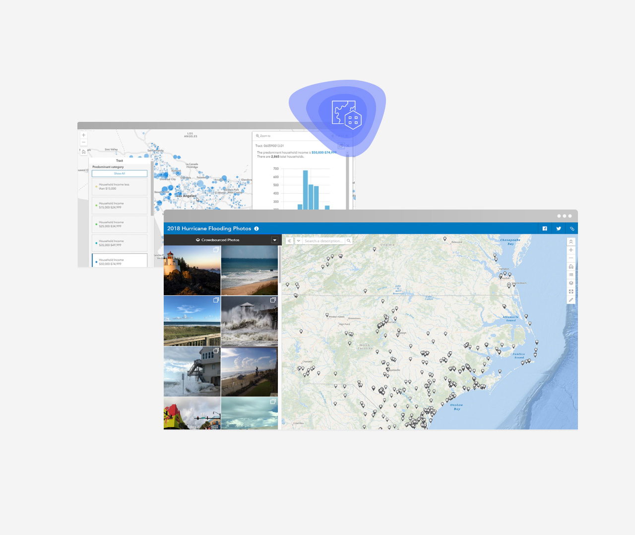
Focused app templates
Select a template based on your goals and your audience's needs and configure it with just a few clicks.
Creatively build apps
Create unique web apps for your audience using preconfigured components or develop the apps yourself. Use the data, analysis, and maps you created in ArcGIS Online as the foundation of your apps.
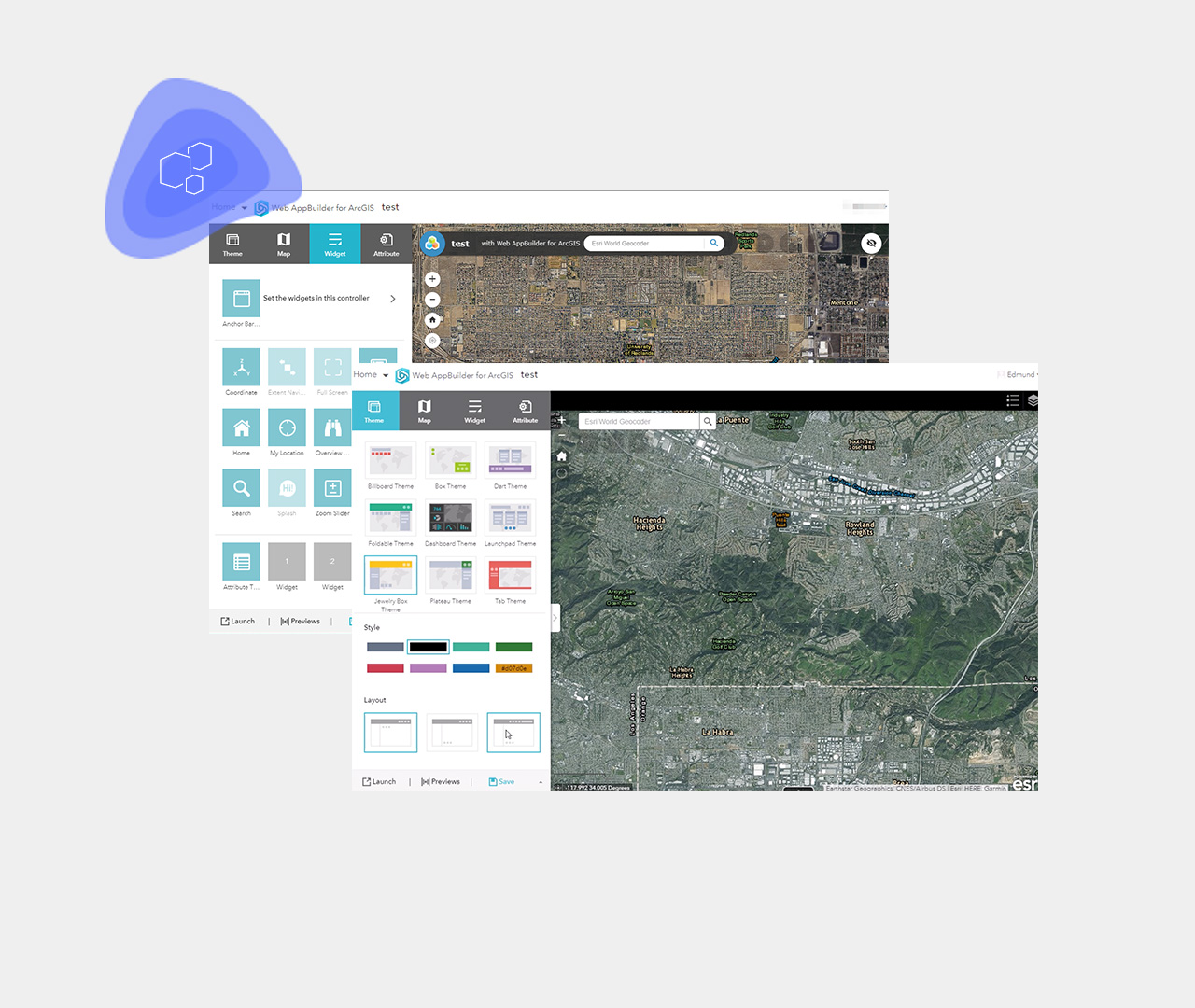
Components to assemble web apps
Select from an extensive set of components to assemble and configure your apps without writing code.
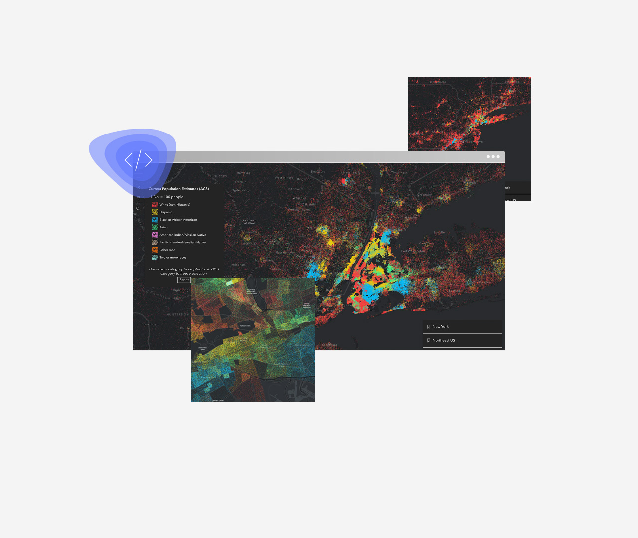
APIs to build web apps
Develop custom web experiences and functionality with the API, sample code, and tutorials.
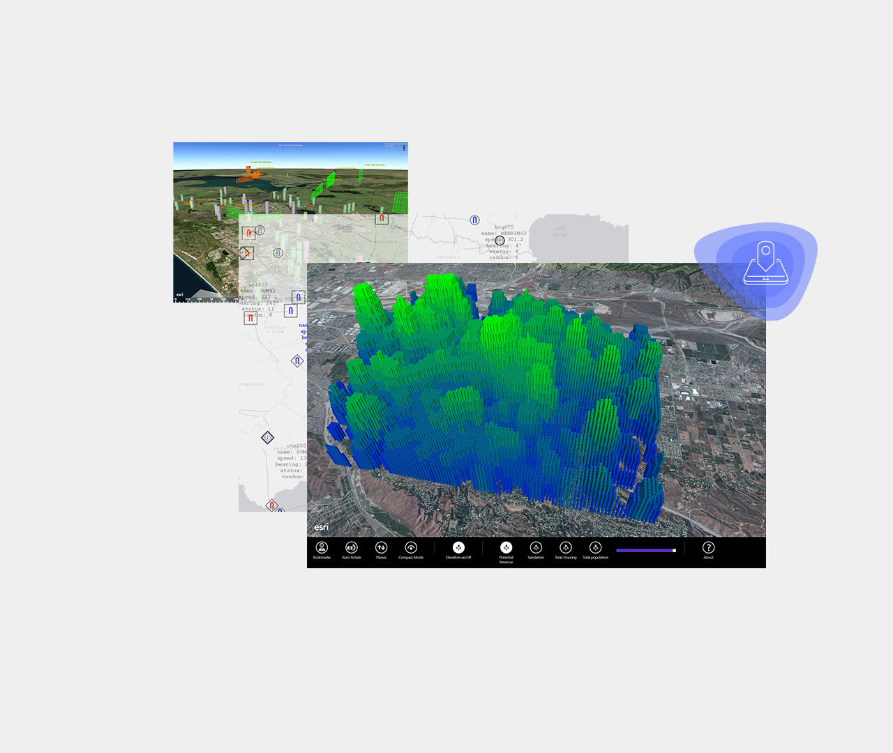
SDKs to build native apps
Build and deploy native apps to a variety of popular platforms and devices.
The ArcGIS-based interactive map supports our customer service vision by making it as easy as possible for customers to interact with us via the communication channel of their choice
Discover more ArcGIS Online capabilities
Make maps
Build interactive maps that explain your data and encourage users to explore.
Learn about making maps

Analyse data
Understand your data in the context of location using intuitive analysis tools.
Learn about analysis

Work with your data
Bring your data into a powerful system that geoenables, hosts, and scales.
Learn about working with data

Collaborate
Work effectively across your organisation, building and using maps.
Learn about collaborating
