Skip to Content

The power of bringing your data into ArcGIS Online

Use your data

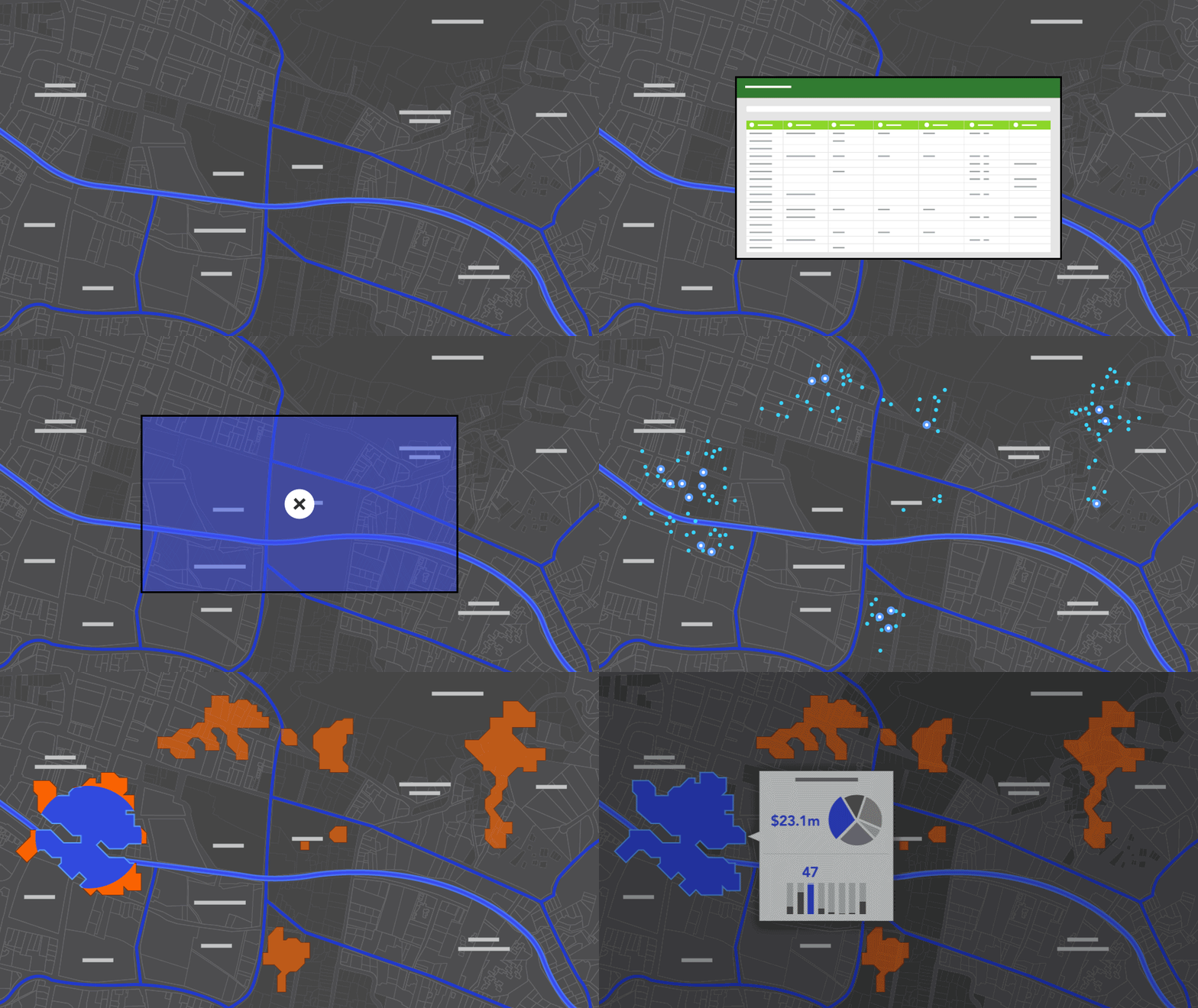
Bring data from many sources, including spreadsheets, geospatial files, images, and services into ArcGIS Online which hosts and maintains it for you.

Add location

Use the location data within ArcGIS Online, such as administrative boundaries, or the World Geocoding Service to put your tabular data on a map.

Discern patterns

Summarize your data by predefined geographies, such as postal codes, to calculate averages and detect patterns.

Enrich your data

Understand the people, housing, and businesses around the locations you mapped by enriching your data with demographic and lifestyle information.

Enjoy managed infrastructure

ArcGIS Online is scalable, performant, and monitored. Even when large datasets are used and your apps go viral, they continue to perform.

Collect the exact data you need


ArcGIS Online helps you effectively collect, process, and use data. Set up collection parameters, such as pick lists, to ensure precise data collection with the ArcGIS field apps.

You can collect, ingest, process, assess quality, and selectively distribute the data using the same source layer. This streamlines the process and avoids confusion.

New field information for mapping and analysis can be computed from your data using SQL or Arcade scripting languages.

Explore ArcGIS field apps

Keep your data current


Good decisions require up-to-date data. ArcGIS Online makes it easy to update and add to your data. Without disrupting the maps and apps that use the data, you can:

· Add new features

· Update field values

· Completely overwrite a dataset

· See updates immediately

To save time, you can automate recurring updates between systems using SQL or ArcGIS API for Python.

Automate updates using Python

Precisely control access to your data


Control who works with your data—down to the field and record level—by creating unique views of the same dataset. Views grant each audience appropriate access to the data and eliminate the need to manage multiple datasets. For example, in a search and rescue mission, the searchers input information such as addresses and names into the database. All data is visible to the rescue agency. However, the view that is shared with the public includes only the searched areas and excludes sensitive data.

Use ArcGIS Online data in other systems


Expand and share your work by using the data you created in ArcGIS Online in other systems. Use your data directly with Open Geospatial Consortium, Inc. (OGC) formats like WFS and WMTS, or community standard formats like GeoJSON. Export your data into common formats such as Excel and KML. You can also share your data as open datasets for others to use.

How to share open data

Get started

Want to try ArcGIS Online?

Free trial

Ready to buy ArcGIS Online?

Buy now

Already using ArcGIS Online?

Launch Application