Features
Data management & analysis tools
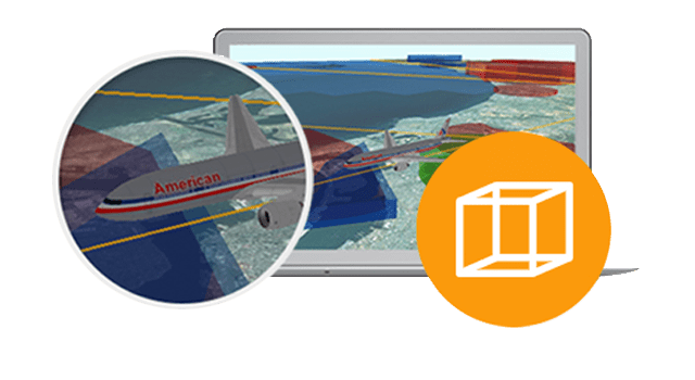
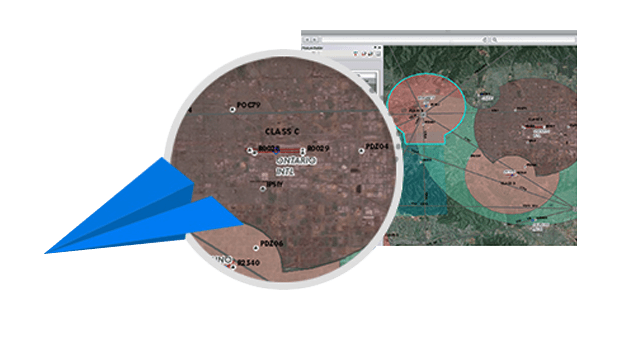
ArcGIS for Aviation: Charting provides the software tools to meet the unique challenges of working with aeronautical data including support for geodesic feature creation, rule-based data validation and 3D visualisation and analysis for obstacle management.
Specialised aviation tools
Reduce production time with tools that help you manage your aviation data, products and workflows. Automate your production processes using built-in Python capabilities that provide the ability to reduce recurring cartographic workflows to a single button click.
Standards
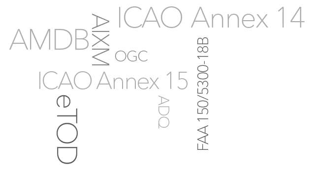
Aeronautical standards compliance is critical to the Safety-of-Navigation mission. ArcGIS for Aviation: Charting includes tools, templates, data models and data validation rules to support international and domestic standards such as: ICAO, AIXM, eTOD, AMDB and ADQ.
Automated cartographic processing
ArcGIS for Aviation: Charting provides the capability to automate text generation with multiscale annotation class support. Streamline chart maintenance using data-driven chart surround elements to automate generation and update tabular information.
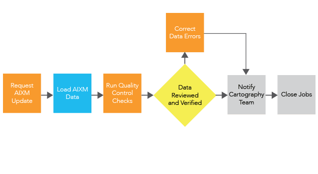
Integrated workflow management
Institutionalise your organisation's best practices using integrated workflow management and tracking applications within ArcGIS for Aviation: Charting. Use these tools to develop structured and repeatable GIS and non-GIS workflows, control processes, track job progress and maintain edit histories.