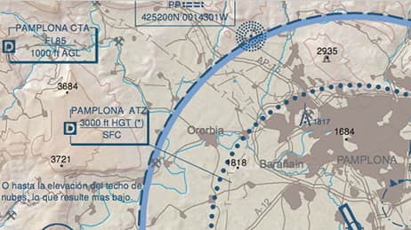
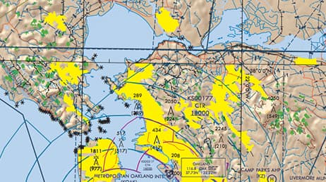
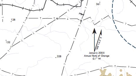
Chart Gallery
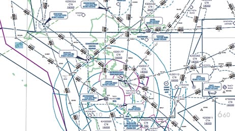
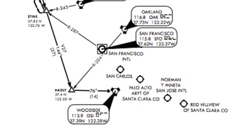
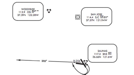
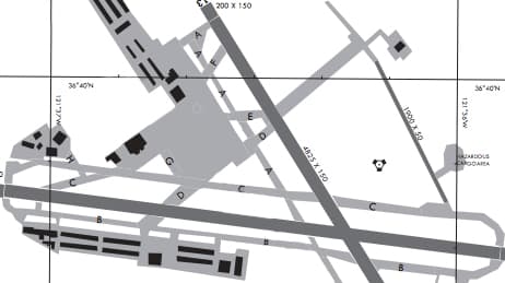
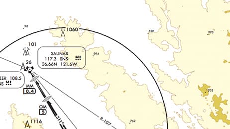
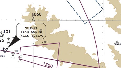
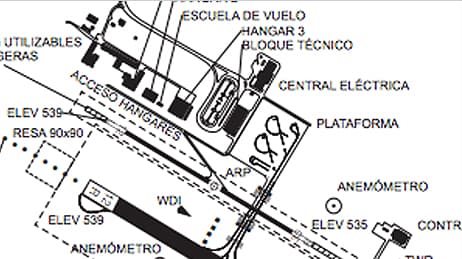
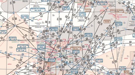
ArcGIS for Aviation: Charting contains sample data and templates to create products that are compliant with the United Nations International Civil Aviation Organisation (ICAO) Annex 4 specification. Users may need to modify colours, symbology or related text on these products to meet their in-country specifications. The charts below were created using the sample data, templates and tools available in ArcGIS for Aviation: Charting.
Data source—Sample data made from ArcGIS for Aviation: Charting
Software—ArcGIS Desktop, ArcGIS for Aviation: Charting