Upstream
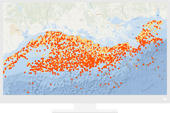
When an oil exploration opportunity emerges, quickly access essential data for accurate prospect evaluation. Use maps and analysis to realise the full potential of land holdings. During upstream production, real-time situational awareness strengthens performance.
CASE STUDY
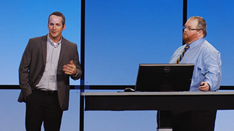
Whiting Mitigates Risk with Augmented Reality
Whiting’s One Call department is responsible for identifying and protecting underground assets at thousands of well sites and field locations. Accuracy in identifying those hidden assets is critical to the company’s success, to prevent costly errors and safety hazards. Using ArcGIS and the Argis Framework, the organisation is able to visualise risk areas on-site, reducing analysis time and saving money.
Prospect Evaluation
Streamline projects while maintaining decision integrity.
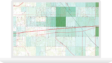
Land Management
Evaluate acreage, integrate survey data and manage current holdings effectively.
Specialised Apps
Living Atlas of the World
Ready-to-use maps give more context to exploration and production workflows.
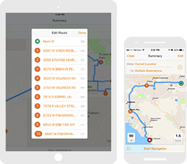
Apps for the Field
Improve operational efficiencies in field workforce activities.
ArcGIS GeoEvent Server
Use real-time mapping and spatial analysis to provide situational awareness for dynamically changing assets.


