Midstream
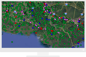
GIS goes beyond environmental planning and regulatory compliance. Get a complete view of midstream operations with easy-to-use maps and apps that show the full oil and gas network. Accelerate inspections, routing and compliance with user-friendly workflows and dashboards.
CASE STUDY
See Pipeline Corridors from All Angles
Locating the best site for a pipeline in a rugged terrain and diverse ecosystem can be a challenge. In Alaska, pipeline engineers rely on Esri’s ArcGIS platform as a foundation for upstream and midstream analysis - from environmental impacts to construction logistics.
Inspections
Manage pipeline integrity with a data model and tools designed for this purpose.
HCA Analysis
Manage field crews in real time while reducing HSE exposure.
Specialised Apps
Living Atlas of the World
Provide context with ready-to-use maps when managing a pipeline network.
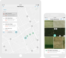
Apps for the Field
Improve operational efficiencies in field workforce activities.
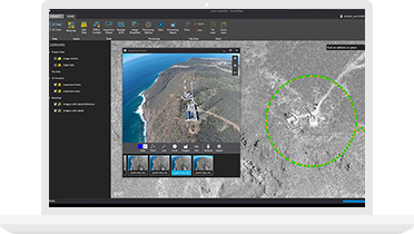
ArcGIS Drone2Map
Strengthen your staff’s ability to inspect fixed assets that span large areas.


