Features
The Challenge
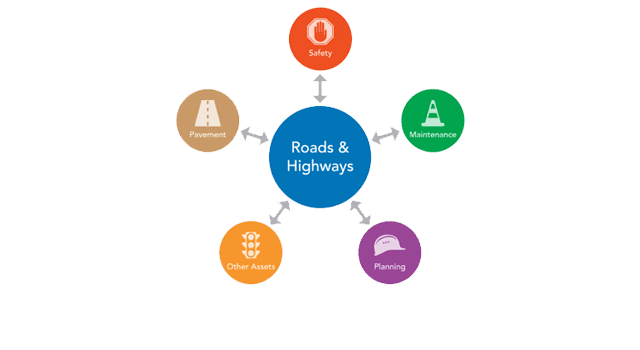
Highway agencies manage and maintain a broad spectrum of information about their roadways. Often, this information is distributed throughout the agency in multiple, disparate systems. The public safety department might maintain crash data based on mileposts located along the highway, while the maintenance department may locate sign and pavement assets based on a distance from a known point of origin.
Integrate data
With ArcGIS Roads and Highways the measurements associated with data in external systems can be kept current and synchronised with the edits made to the LRS, enabling data interoperability and sharing across all business units.
Edit across the Web
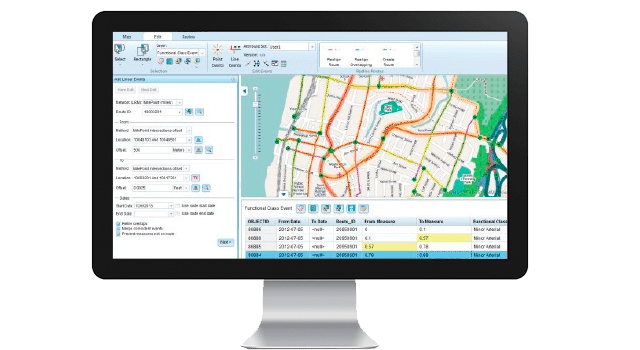
Extend the reach of your workflows across your enterprise to include users and groups without prior GIS software and application accessibility. Business data owners and groups throughout your organisation will be able to create and edit event data from a map-centric experience within an HTML5-enabled web browser.
Automated cartographic processing
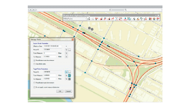
Easily visualise and maintain your roadway networks and associated data. Rule-based location management allows you to define how event measures and route associations should react to changes in the LRS, keeping your business data aligned with roadway network changes.
Analyse & report data when you need It
Generate reports and produce data products and maps that support safety analysis, traffic congestion analysis and infrastructure maintenance planning. These reports provide government and public entities insight into highway-based data like highway assets, incidents and roadway characteristics.
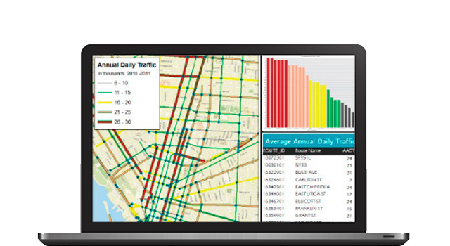
Coordinate & track work throughout your organisation
ArcGIS Roads and Highways comes with workflow management tools that provide visibility into day-to-day job progress, allowing you to track the status of jobs using standardised and streamlined workflows. A history of actions is automatically recorded for each job, providing a detailed account of how the job was completed.
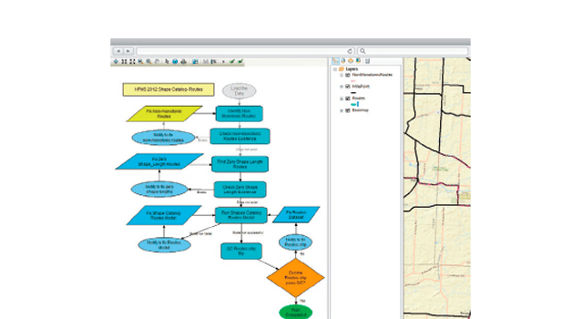
Automate quality control
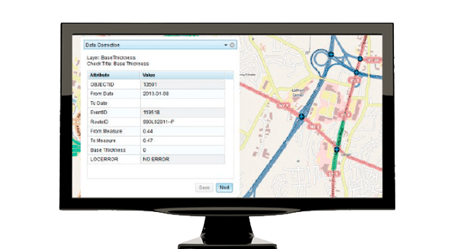
Benefit from a complete QA/QC system with tools for automated and visual review processes. You can use these tools to assess, document, correct and verify the overall quality of your spatial data. The tools can be scheduled to run automatically and are configurable so you can implement business rules specific to your organisation's needs.
