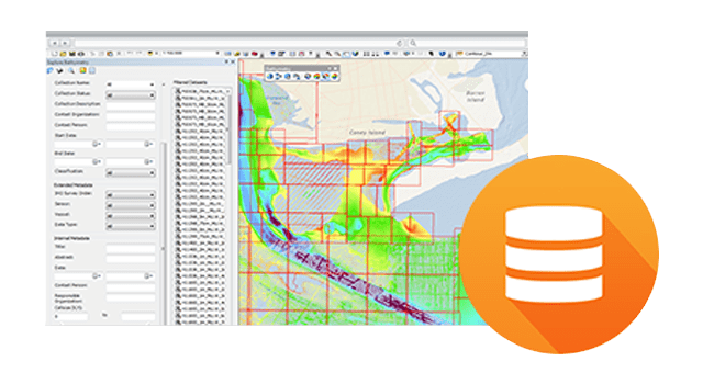
Features
Create both raster & point bathymetric models
Use advanced modelling tools to create authoritative raster or point models of the seafloor. Manually and automatically de-conflict datasets. Analyse data and prepare it for publishing with depth-adaptive thinning algorithms.
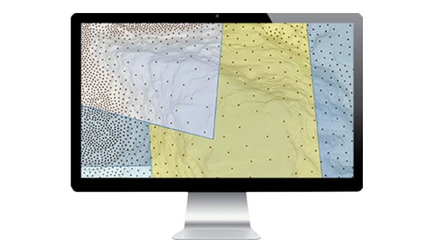
Get the best available data
Whether you use bathymetric data for planning, answering specific questions or making better decisions, you want the best available data for your analysis. You may need data that is recent, high resolution, low uncertainty or any combination of criteria. ArcGIS for Maritime: Bathymetry combines disparate source datasets according to your needs.
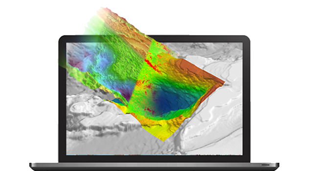
Eliminate unnecessary data duplication
When you need to combine or analyse large datasets, you no longer have to store the voluminous intermediate and resulting output. ArcGIS for Maritime: Bathymetry provides lightweight, on-demand processing, where derived information is extracted on the fly from source datasets, without additional storage requirements.
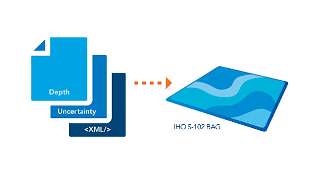
Access a standard-compliant, interoperable & future-proof data management system
ArcGIS for Maritime: Bathymetry is based on the International Hydrographic Organisation (IHO) S-102 and Bathymetric Attributed Grid (BAG) format specifications. This means that data is not buried in stovepipe systems with proprietary file formats. Data can be exchanged natively across software packages and across organisations.