Portfolio Risk
Understand hazard proximity to improve risk score precision. Location analytics in ArcGIS software provides an easy way for insurance companies to discover unknown problems, model situations and implement the best solutions to minimise portfolio risk.
SUCCESS STORY
Preventing a natural catastrophe from becoming a business crisis
Global insurer Sompo Canopius has used Esri’s ArcGIS platform to put up-to-date information about potential natural hazards and risks at the fingertips of all its employees. Consequently, the organisation can now make more incisive underwriting decisions and better understand the impact of major catastrophes to protect business profitability.
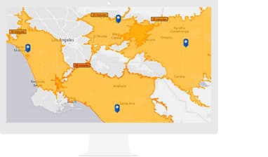
Weather analysis
Combine real-time and historical data to better understand risks before weather events occur
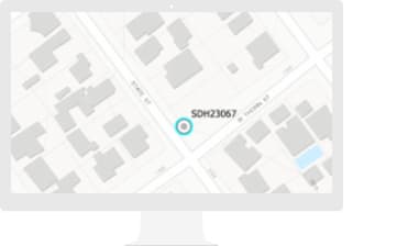
Optimise policy pricing
Use modelling to set premiums at the locations of specific properties.
Specialised Apps and Data

ArcGIS Business Analyst
Create powerful, insightful and beautiful infographics.

Apps for the Field
Use ArcGIS apps to collect and distribute data to and from the field. Reduce errors, boost productivity and save money.

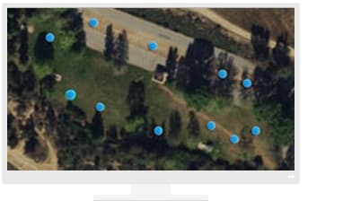
ArcGIS Drone2Map
When disasters occur, sites can remain unsafe for weeks. Quickly survey the impact of an event while keeping your staff out of harm's way.