Exposure Management
Reduce your insurance organisation's cumulative risk across lines of business. Smart maps, thousands of data variables and real-time weather feeds ensure that you understand risk and make effective exposure management plans.
SUCCESS STORY
Reducing complex global asset & supply chain risk
The global insurance broker, Willis Towers Watson, has used Esri’s ArcGIS platform to develop a web-based risk analysis solution. Called Atlas, it provides an effective way for Willis to share its incredible knowledge of global risk factors with its clients and deliver an additional premium value service.
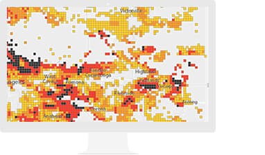
Aggregation
Understand aggregate exposure across lines of business.
Vehicle-accident pattern analysis
Increase your understanding of patterns and trends over space and time.
Specialised Apps and Data

ArcGIS Business Analyst
Better analyse sales territories and agent opportunities.

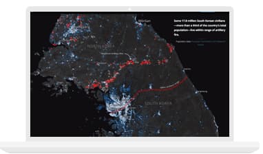
Story Maps
Align your organisation's departments and increase organisational agility by quickly sharing data through visually stunning applications.

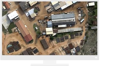
ArcGIS Drone2Map
When disasters occur, sites can remain unsafe for weeks. Quickly survey the impact of an event while keeping your staff out of harm's way.