Renewables
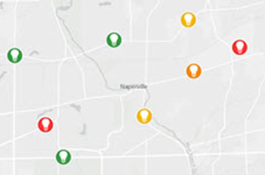
Fuel your operations with the power of spatial analysis and find the best places to build a new facility, map your current facilities and manage nearby environmental factors, such as weather conditions and economic variables. Track developments in current and potential generation sites in real time, and share with your team for faster collaboration.
SUCCESS STORY
Web app sheds light on solar energy potential
The Northern Virginia Solar Map - GIS technology and Esri’s ArcGIS software proved indispensable in the development of the web app, which lets property owners evaluate the benefits and impacts of placing photovoltaic (PV) panels on their roofs.
Specialised Apps
Generation
Create facility maps, analyse data, provide information to your entire organisation and more
Calculate Solar Radiation
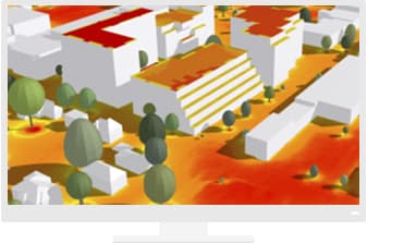
Visualise solar radiation on the ground, as well as on the roofs of buildings, in 3D
Calculate Solar Radiation
Visualise solar radiation on the ground, as well as on the roofs of buildings, in 3D
Site selection
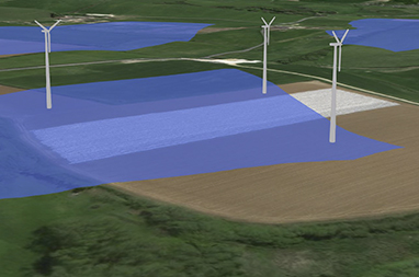
Follow this introductory guide to ArcGIS Online to discover how you can start your GIS journey by performing an initial analysis to identify suitable wind turbine sites


