Gas Utilities
Intuitive, interactive GIS maps and spatial analysis give natural gas utilities the power to make data-driven decisions. Use the best, most current data to ensure that infrastructure is in the right place, safe and in compliance.
SUCCESS STORY
Delivering accurate address data for a smarter, faster service
To improve the quality and consistency of address data within its business, Northern Gas Networks (NGN) selected Esri’s LocatorHub solution. It now has a single, centralised source of address information, which helps improve its operational efficiency right across the organisation.
Planning
Clearly see the conditions of assets and the entire network to plan smarter.
Distribution Leak Detection
Gather field data, identify vulnerabilities and ensure safe distances from infrastructure.
Operations
Map assets and demand to keep gas flowing efficiently.
Response
During emergencies, capture new data and share it in real time for faster response.
Specialised Apps

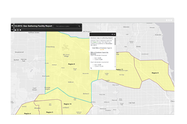
Facility Reports for Gas Gathering
Summarise information for annual gas gathering system reports and publish it as a service, map or app.

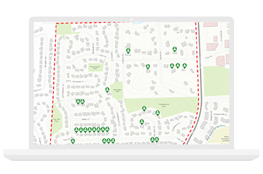
Potential New Customers
Identify parcels without gas meters that are near existing mains. Publish results and share them with marketing and sales departments.

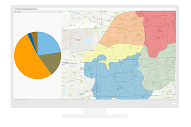
Leak Survey Compliance Dashboard
View compliance details at various geographic scales. Calculations include compliance summaries by service area, district or subdistrict level.