Features
Enhance data production
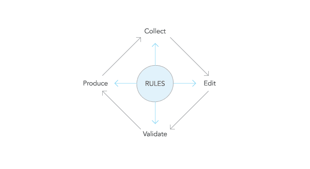
Ensure your data conforms to your business rules as it is being produced. Production Mapping allows you to centrally store data model information, data validation rules and task-based workflows inside the product library. This enforces consistency in the data as well as reduces the need for re-work.
Automate data validation
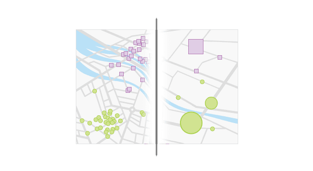
To produce high-quality maps and perform accurate data analysis, your source database must be of high quality and well maintained. Production Mapping provides a complete system for automating and simplifying data quality control, which can quickly improve the integrity of your data.

Standardise cartographic production
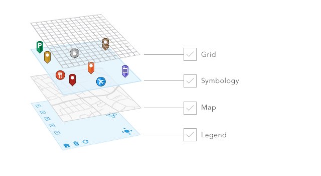
Production Mapping supports enterprise cartographic workflows driven by your organisation's cartographic standards. It uses database-driven tools to create precise maps with dynamically updating text, tables, legends, and symbology, based on your map's scale, area of interest and features it represents.
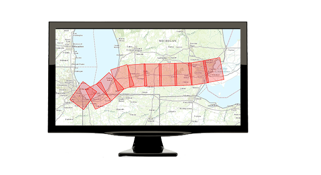
Manage workflows
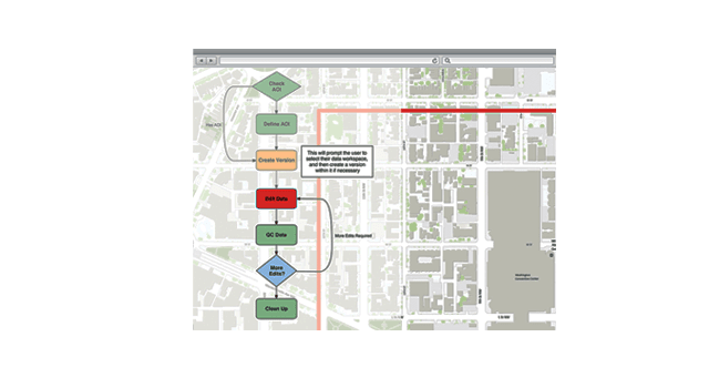
Streamline your production workflow with tools for allocating resources and tracking the status and progress of jobs. Configure and distribute micro-level workflows that guide users through defined processes within ArcGIS Desktop. Spatial notifications can be automatically triggered when certain features are changed.
Complement your web GIS services
Production Mapping gives you the ability to create beautiful layout-based vector maps that complement your existing web services. Simple-to-use, layout-based maps help you easily share geographic information to non-GIS professionals.
Automate multi-scale mapping
The automation you get with Production Mapping allows you to make the most of your data and reduces the need to duplicate data collection efforts at multiple scales. Production Mapping provides a suite of generalisation tools and sample models that you can use with ArcGIS Desktop geoprocessing tools to create multi-scale topographic data.