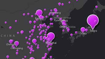
Explore your data
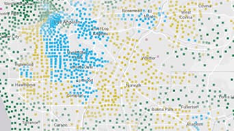
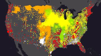
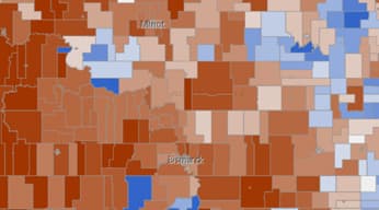
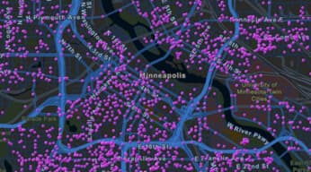
Smart mapping functionality will automatically analyse your data and make data-driven styling suggestions, meaning less guesswork for you. Just click on change style to quickly begin exploring your data.

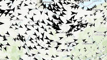
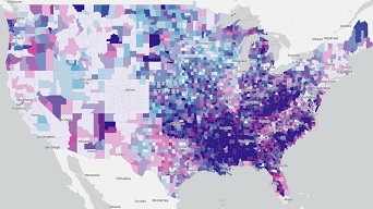
Understand your data
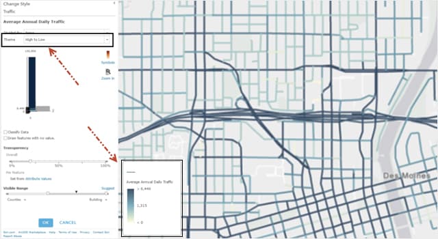
Once you've settled on a map style, you can gain an understanding of your data by trying different one-click visualisations. With smart mapping themes, you can visualise your data from high to low values, above and below a certain threshold, or particular ranges such as the extreme values.
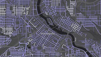
Find meaning in your data
With smart mapping, your data, style, and visualisation all come together to form the story you want to tell, in a beautiful, thematic map. You are able to discover meaning hidden within your data.
How does it work?
Choose a data field
Choose an interesting attribute of your data
Explore your data
Identify your map’s audience and goals
Style your data
Automatic colour suggestions match your basemap
Scale your data
See your data at scales that make sense
Preview your styling choices
Preview your choices, change them anytime
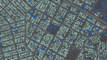
Make new discoveries
Find meaning and new patterns within your data
Try it for yourself
Open one of these maps and click the Change Style button within the layer options to explore how you can bring your data to life.

Smart Mapping Tutorials


Resources
Show More