SUCCESS STORY
Removing land mines
The Mines Advisory Group has removed nearly 5 million landmines and unexploded ordnance from countries around the world – but millions more remain undetected, putting communities at risk. The organisation is now using a Esri’s ArcGIS platform to help clear land more quickly and save lives.
Prioritise intelligently
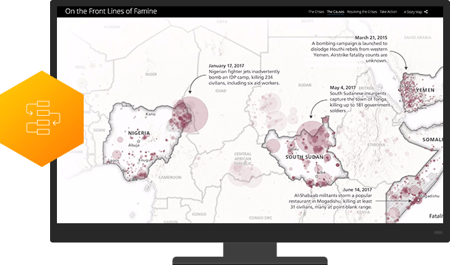
ArcGIS workflows maximise the impact of humanitarian missions by optimising the distribution of resources. Use authoritative data and advanced analytics to precisely prioritise where and what kind of help should be delivered.
Enable transparency
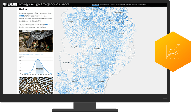
A location intelligence platform precisely measures results so you can justify expenditures and secure future funding. Take advantage of analytics that precisely assess programme effectiveness and enable you to share it with all stakeholders via dashboards and map-based reports.
Actualise collaboration
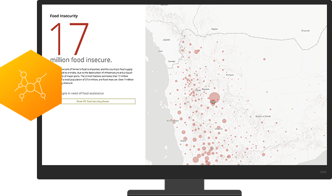
ArcGIS is as a collaboration hub that facilitates partner/client interaction. Leverage easy-to-configure apps, interactive maps and authoritative data to engage grantees, beneficiaries, donors and the public.
Instead of just publishing a list of spaces, Esri Story Maps technology allowed us to bring the campaign to life and tell our stories in a visually engaging and interactive way, giving a familiar context to historical content
Resources
Comic Relief
