Public Works
GIS links public works, staff and citizens together. Coordinate work in the field, plan operations and prepare for problems in advance. Whether you’re routing fleets, maintaining critical infrastructure, or creating budget reports, GIS helps you efficiently and transparently manage infrastructure.
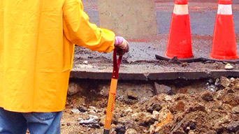
Maintain infrastructure
Track the conditions of roads and bridges to maintain progress and share results.
Manage solid waste
Intelligent mapping and analytics reduce wastefulness in waste collection and disposal.
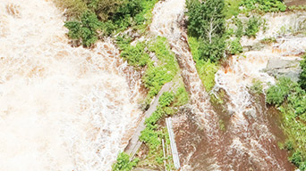
Prepare for inclement weather
Whether rain, snow or weather-related disaster, have a plan before the storm arrives.
Featured Apps
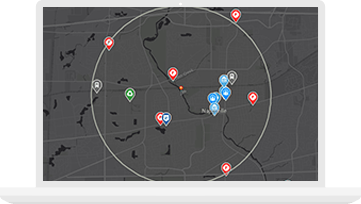
Snow Common Operational Picture (SnowCOP)
Operations managers use this dashboard to monitor snow events and respond to incidents, even in extreme conditions.
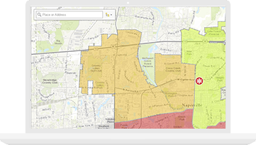
My Government Services
The My Government Services app is used by the public to locate government facilities and get information about curbside and drop-off services.
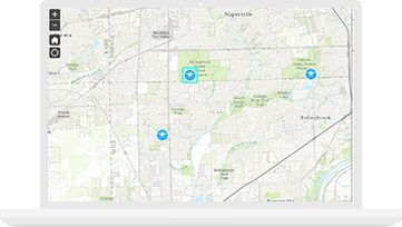
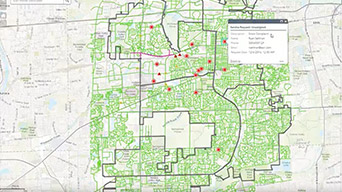
Mosquito Population Surveillance
The Mosquito Population Surveillance app is customised for biologists and field inspectors to record mosquito counts by species.
GIS solutions tailored to your department needs
Esri offers prepackaged GIS software and service bundles that modernise public works departments. Locate leading solutions with ArcGIS, the world's most powerful mapping and analytics software.


Resources
VIDEOS

Esri Case Study: Pinellas County, Florida
Managing Winter Maintenance with GIS
Public Works Webinar Series