Elections
Empower the democratic process with GIS. Effective election agencies use location technology in operations, public outreach and redistricting to streamline the flow of information. Take advantage of modern maps and apps to inform the public, engage citizens and simplify Election Day activities.
Elections management
Whether ensuring district data accuracy or protecting against voter fraud, GIS can be used to orchestrate elections every step of the way.
Election Day operations
Visualise a collective overview of Election Day to allocate resources optimally to polling places.
Voter engagement
Election departments can use GIS to communicate with and better understand their constituencies.
Redistricting
GIS enables the public to create and propose redistricting scenarios that address citizens' current needs.
Specialised Apps
Election Results
Access the Election Results app to share results tabulated on election night from any smartphone, tablet or desktop computer.
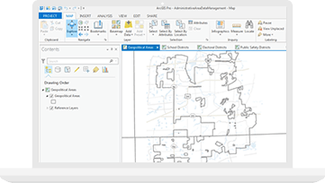
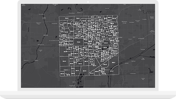
Administrative Area Data Management
Maintain inventory of administrative areas - school districts, voting districts and other service boundaries.

ArcGIS Hub
Transform how you engage and collaborate with your community. Provide a two-way engagement platform to connect government and citizens.