Earth Sciences
Every day, the scientific community uses GIS to address twenty-first-century environmental challenges and understand the changing world. A strong scientific enterprise will yield new tools for analysis and investigation to increase our capacity to question, learn and advance.
Data collection
Empower field staff and citizen scientists to view and collect mission-critical data directly from their mobile devices.
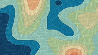
Analysis
Integrate scientific modeling environments for change monitoring, feature extraction and in-depth analysis.
Communication
Combine authoritative data with narrative text and multimedia content to communicate clearly in context.
Specialised Apps
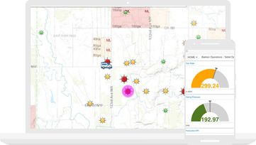
Apps for the field
Connect your field data collection staff with the office. Give your entire team access to the same authoritative data to reduce errors, boost productivity and save money.
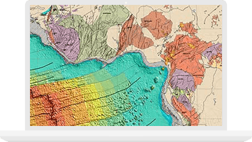
ArcGIS Pro
Use intuitive 2D and 3D mapping to create visualisations, perform complex scientific analysis, conduct image processing and improve data management and integration.

Esri Story Maps
Combine authoritative maps with narrative text, images and multimedia content. Easily harness the power of maps and geography to tell your story.