Skip to Content

Part of the Esri Geospatial Cloud, ArcGIS Collector, a mobile data collection app, makes it easy to capture accurate data and return it to the office. Fieldworkers use web maps on mobile devices to capture and edit data. ArcGIS Collector works even when disconnected from the Internet and integrates seamlessly into ArcGIS.

Capture & report data

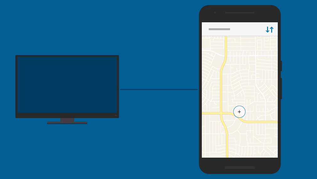
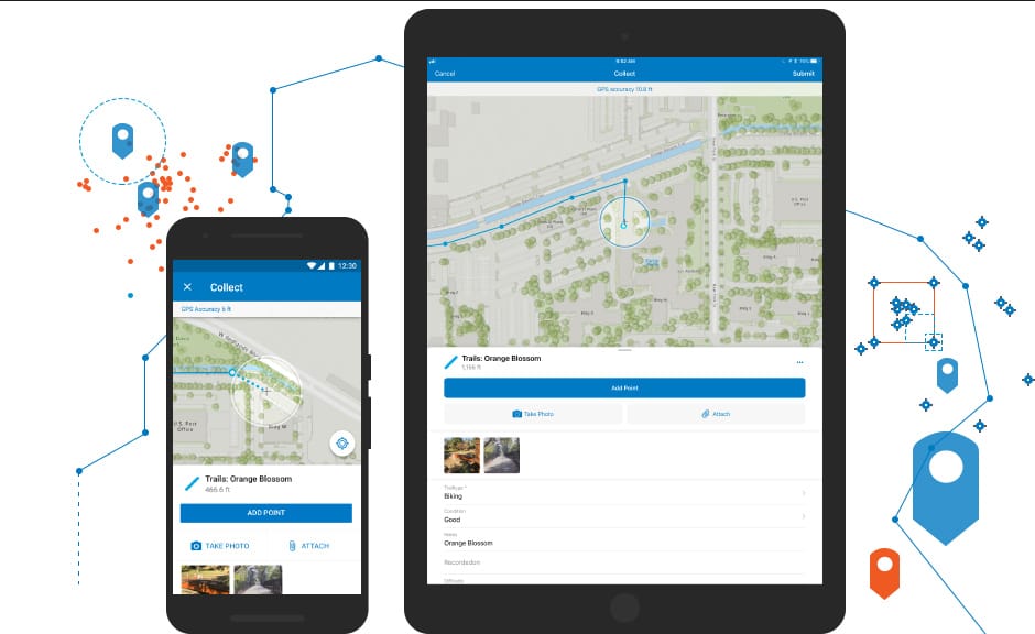
Efficient data collection


Collector’s intuitive interface enables field workers of all experience levels with map-driven forms to capture and return accurate field data that integrates seamlessly into ArcGIS. For any asset or observation, you can document countless details using photos, videos or audio recordings.

A single source of truth


Data captured with Collector feeds directly into ArcGIS, so everyone, in the field and the office, works from the same accurate data. Your as-built infrastructure can be accurately documented to reflect reality as compared to what was planned.

No more paper forms


Free your workforce of the manual processes of collecting field data on paper forms that must be returned to the office, then translated into other systems. Collector streamlines these workflows, using smart devices to capture data in the field and seamlessly return it to the office.

Works anywhere, anytime


Add new assets and update existing GIS data in any environment, remote to urban, on your authoritative maps. In connected environments, your data will feed directly into ArcGIS. In disconnected environments, it will reside on your device then sync as soon as connectivity is available.

Improved data accuracy


Collector uses your device’s location service to identify your position. Authoritative maps ensure field-captured location data, updates and additions are accurate. When required, achieve up-to-centimeter accuracy using a professional-grade or high-accuracy GPS receiver. Collector supports both options.

How Collector works

Create

In ArcGIS, create a map for your data collection project. Design the form your field workers will use.

Collect

On your mobile device, efficiently capture assets and observations, and perform inspections. Collect accurate locations and fill out map-driven forms.

Empower

Field-captured data is a single source of truth to use throughout your organisation. Enable stakeholders to monitor projects and perform analysis.

Case Study

Responding efficiently to reported tree incidents


When tenants, members of the public or employees report issues with trees on our land, we can respond quickly and effectively to ensure public safety.

Better together


Use other focused ArcGIS apps in combination with ArcGIS Collector to be more productive and reduce costs in your field activities.

View field mobility solutions
ArcGIS Workforce

ArcGIS Workforce

Coordinate field activities. Select a task from your Workforce task list. Use Collector to complete the required work. Then, seamlessly return to Workforce when you are done.

Explore ArcGIS Workforce
ArcGIS Navigator

ArcGIS Navigator

From any point on the map, a simple click opens Navigator and routes you to your selected destination. It then returns you to Collector so you can capture data.

Discover ArcGIS Navigator
ArcGIS Dashboards

ArcGIS Dashboards

Visualise the data captured with Collector in real-time dashboards to support more informed decision-making.

Discover ArcGIS Dashboards
Business Apps

Business Apps

Collector for ArcGIS integrates with other non-ArcGIS proprietary apps you already use or choose to integrate into your field activities using a URL scheme.

Collector is fully integrated with ArcGIS


Combined with other ArcGIS apps, you can maximise efficiency in your field workforce on a platform you can trust with the flexibility to run in the cloud or in your own IT infrastructure.

Learn more about ArcGIS

Get started with ArcGIS Collector

Start your free trial

Currently available on Android, iOS, and Windows.