Enhance your data engineering
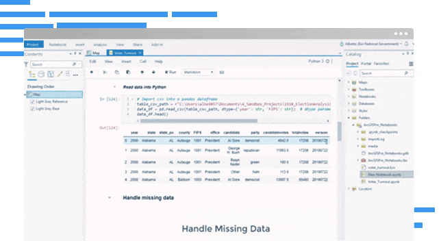
Prep your data using spatial and open-source libraries to isolate an area of interest and identify anomalies. Add context with curated location data.
Spatial analysis meets data science
Prep your data using spatial and open-source libraries to isolate an area of interest and identify anomalies. Add context with curated location data.
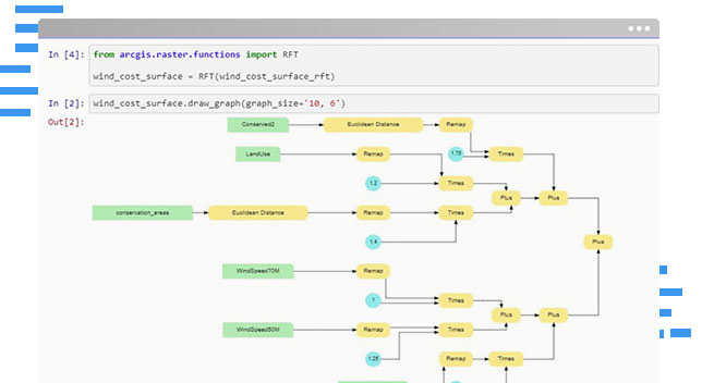
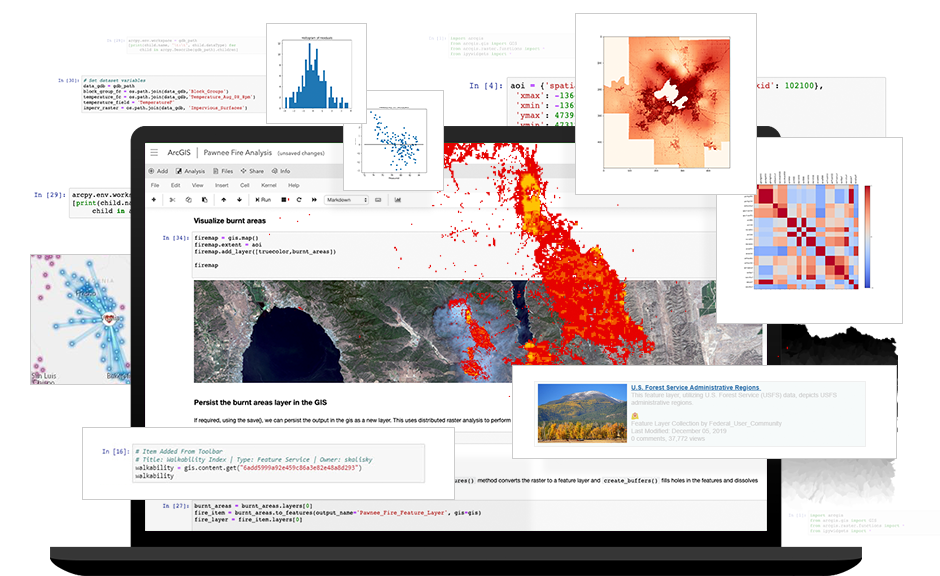
Go beyond proximity with advanced analytics. Arrive at statistically significant results with spatial algorithms and open-source Python libraries.
Train and perform inference on models using built-in tools with machine learning and deep learning frameworks to solve complex spatial problems.
Leverage the built-in ArcGIS Python Libraries to automate and schedule repetitive administrative tasks in your Web GIS.
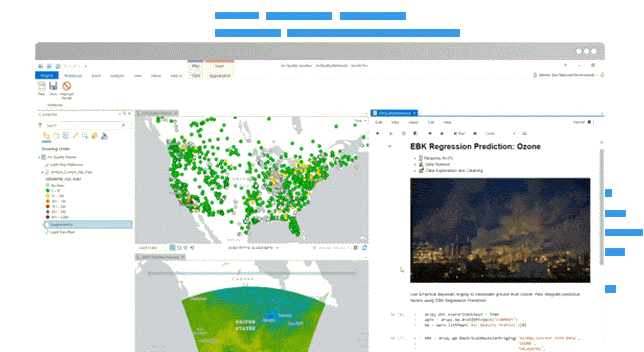
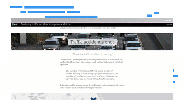
Explain your analyses by combining Python with interactive visuals and descriptions. Share a workspace that is familiar to other data scientists.
Share results via visually stunning maps and intuitive apps that drive action and help infuse AI into real-world problem solving.
Access your data and contextualise it with datasets, built by the ArcGIS community and Esri’s team of cartographers, demographers and statisticians.
Dynamically create beautiful maps and visualisations that tell a story. Explore data distributions, find patterns, and view results in 2D and 3D.
Combine industry-leading spatial analytics from ArcGIS with open source Python libraries to solve complex problems and build precise models.
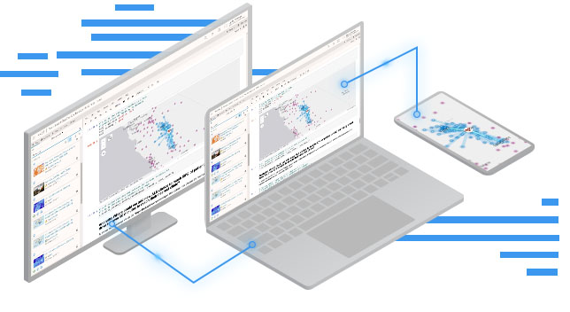
Make your models accessible and easy to find, increasing transparency and efficiency. Better collaborate with other analysts and data scientists.