Features
Up-To-Date Data - Faster
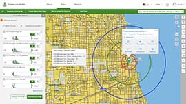
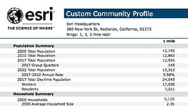
- Get information for the exact area you need - including standard geographies (down to the Census block group level), hand-drawn shapes, or rings or drive times around a location.
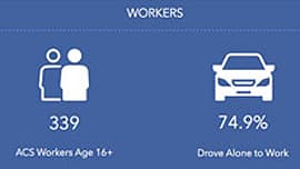
- Access thousands of demographic, Census, health, crime and business variables to formulate better policy decisions.
- Go beyond basic demographics to really understand the behaviours and preferences of people living in any area using Esri's detailed segmentation profiles.
Resource Allocation
- Use custom comparison reports to determine where to best allocate resources for greatest community impact.
- Quickly find areas with greatest need by using customisable search criteria with the Smart Map Search wizard.
- Determine where to allocate grant funding based on population need.
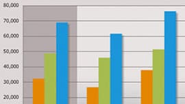
- Better plan for the future by understanding trends using past data and future projections.
Reach and Inform
- Communicate policy decisions with data and reports customised to your location.
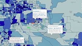
- Illustrate the unique characteristics of your area using interactive colour-coded maps to attract businesses and residents.
- Reach the public by publishing reports and maps to your website or use the API to allow the community to generate their own reports and analysis.
- Use a variety of map types, including web maps from ArcGIS Online, to clearly and concisely communicate information.
