ArcGIS Living Atlas of the World
The world's foremost collection of geospatial information
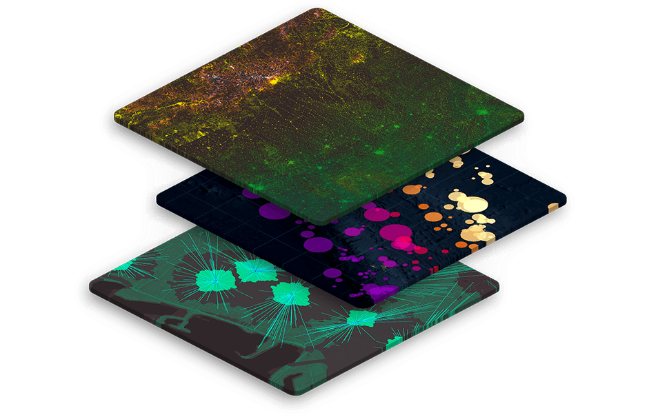
You do the analysing, we'll do the curating.
Your time is valuable. Trust in Esri to get you started using quality location data, fast. Living Atlas saves you time with curated and prepared data layers that can be easily integrated into your GIS workflows.
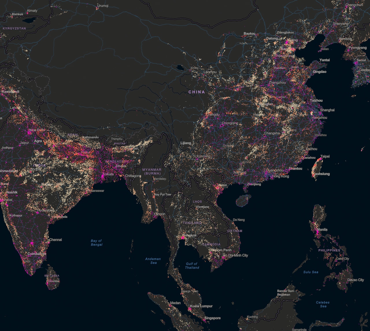
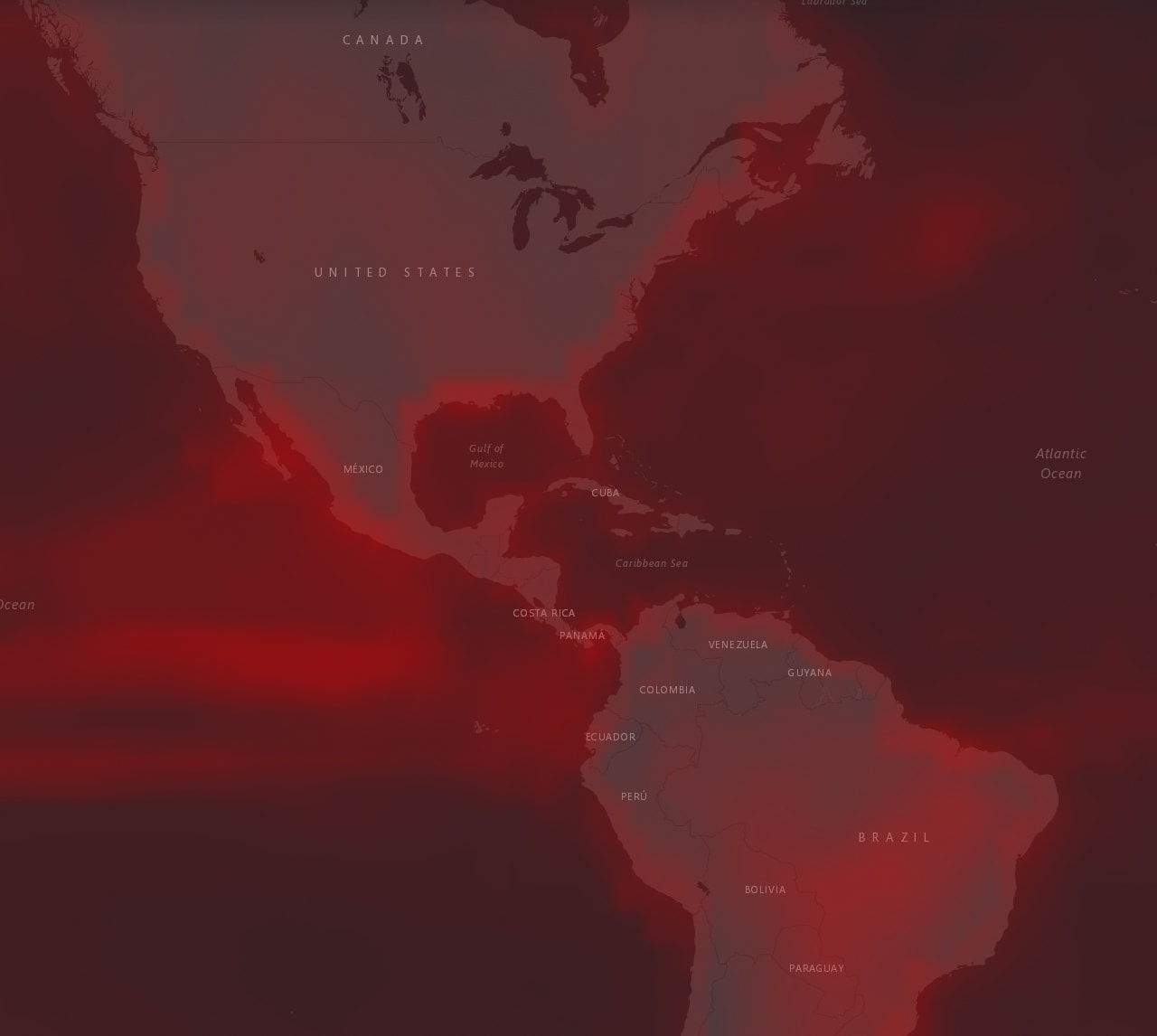
World Population Estimate
Understand the geographic distribution of human populations to understand human impact on the natural world and how natural phenomena affect humans.
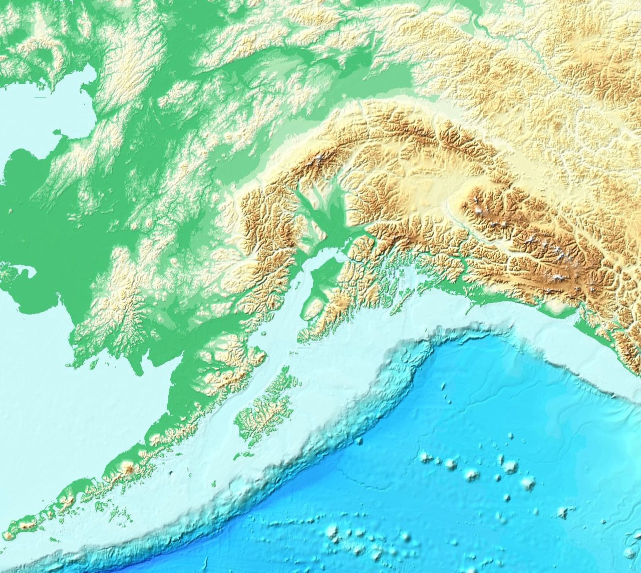
TopoBathy Elevation Tinted Hillshade
This globe-spanning, colourised-elevation layer can be used for visualising the shape and height of terrain at a range of map scales.
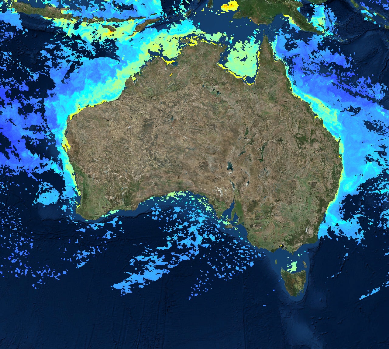
Chlorophyll-a
Chlorophyll measurements give scientists valuable insights into the health of the ocean environment and help scientists study the ocean carbon cycle.
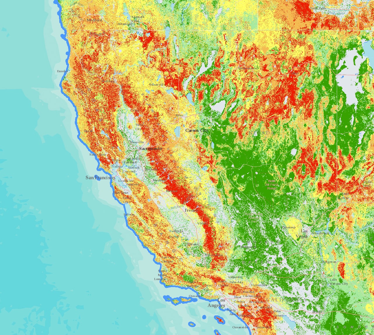
Wildfire Hazard Potential
The Wildfire Hazard Potential was developed by the US Forest Service's Fire Modeling Institute to help inform assessments of wildfire risk.
See What Others Can't
Discover the global collection of prepared maps and apps that bring ArcGIS to life. Insert live feeds, ready-to-use visualisations and interactive maps into your dashboards to complement your narrative.
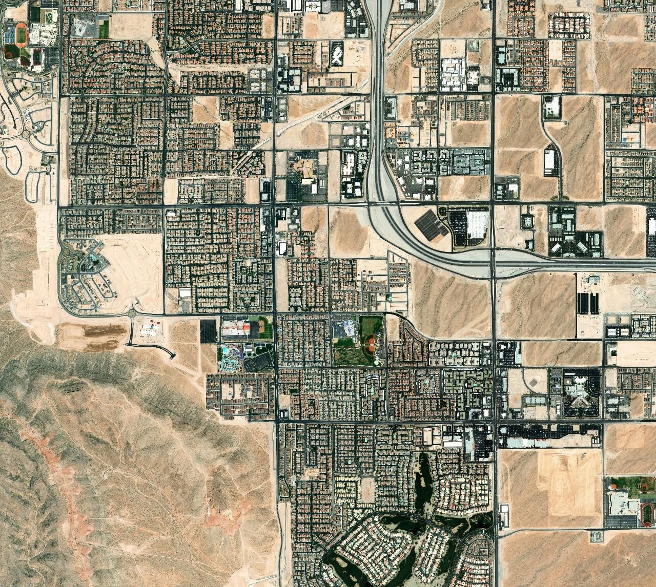
World Imagery Wayback app
Enjoy dynamic browsing and discovery. Previous versions of the World Imagery basemap are presented within the map, along a timeline and as a list.
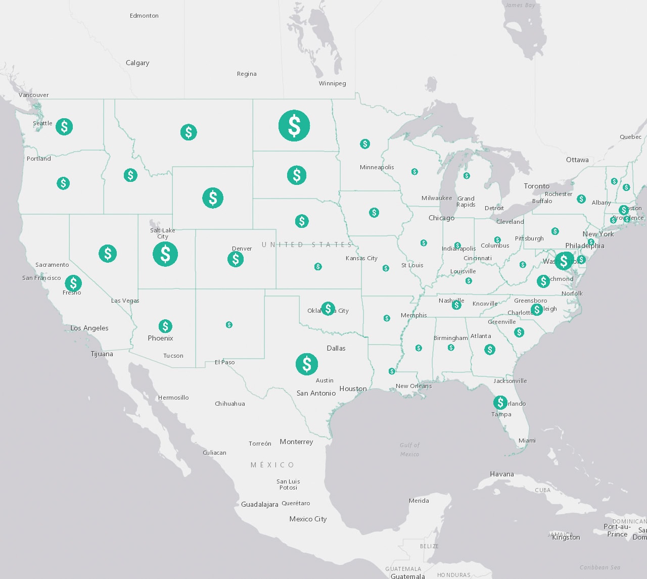
Esri Maps for Public Policy app
This app provides a collection of curated policy maps for citizens in US communities to make informed decisions.
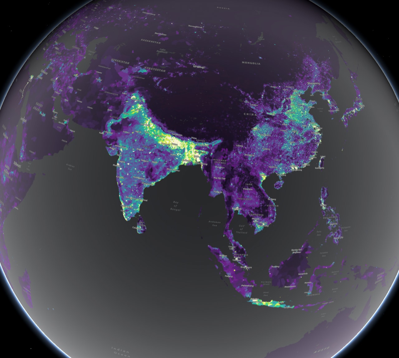
The Human Reach story map
This story map explores how humankind has reshaped the planet Earth in its image, with visually striking maps and graphics.
Cumulative Exposure to Climate Change
How will the climate change over time? View this web app to experiment with various climate hazard scenarios from 1956 to 2095.
Contribute to Living Atlas
Do you have a captivating story map, web app or data layer that you would like to contribute to Living Atlas? Would you like to enhance your local basemap with areas of interest, addresses or street locations? Get started today and see why thousands of organisations already contribute authoritative content to advance Esri's basemaps, imagery, elevation and so much more.
